Dog-Friendly Hikes near Denver

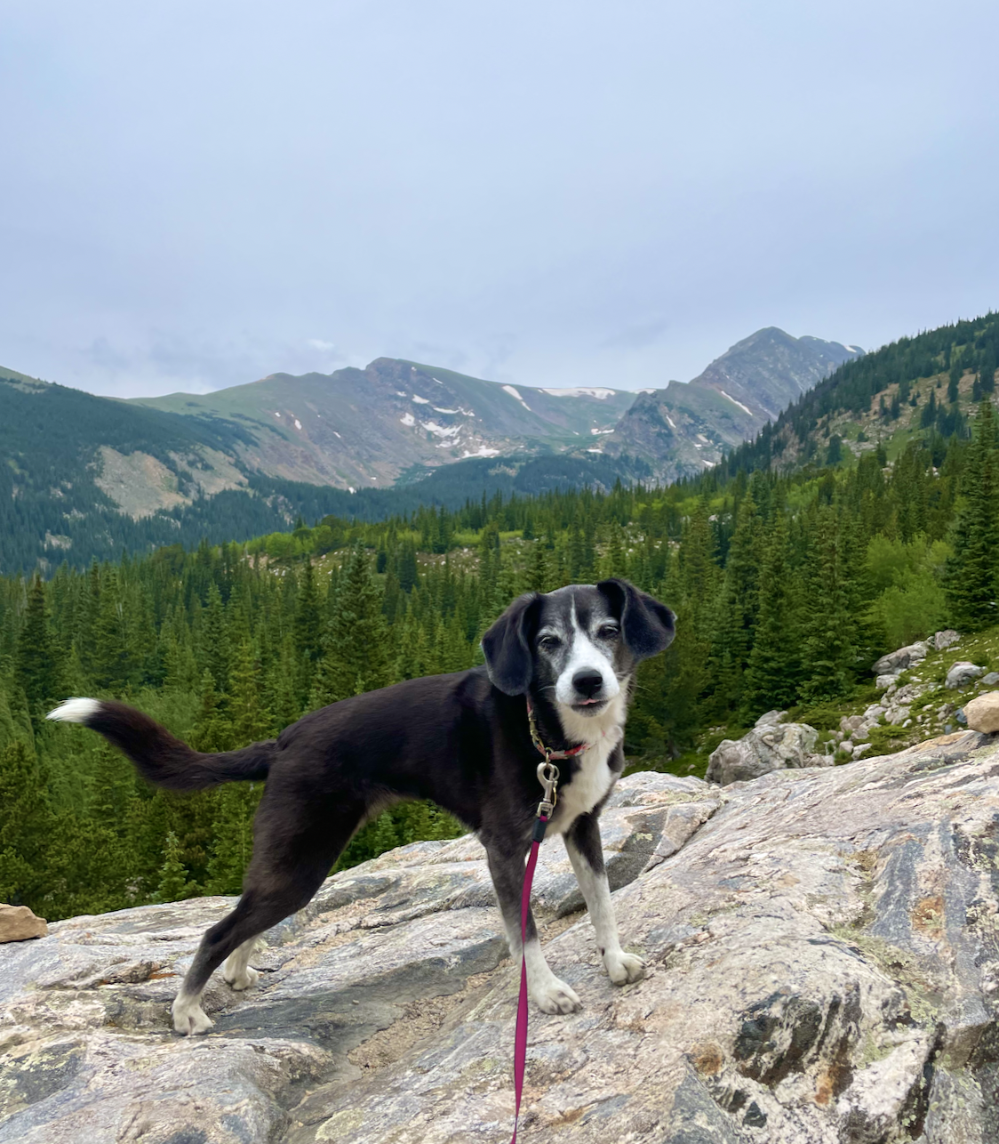
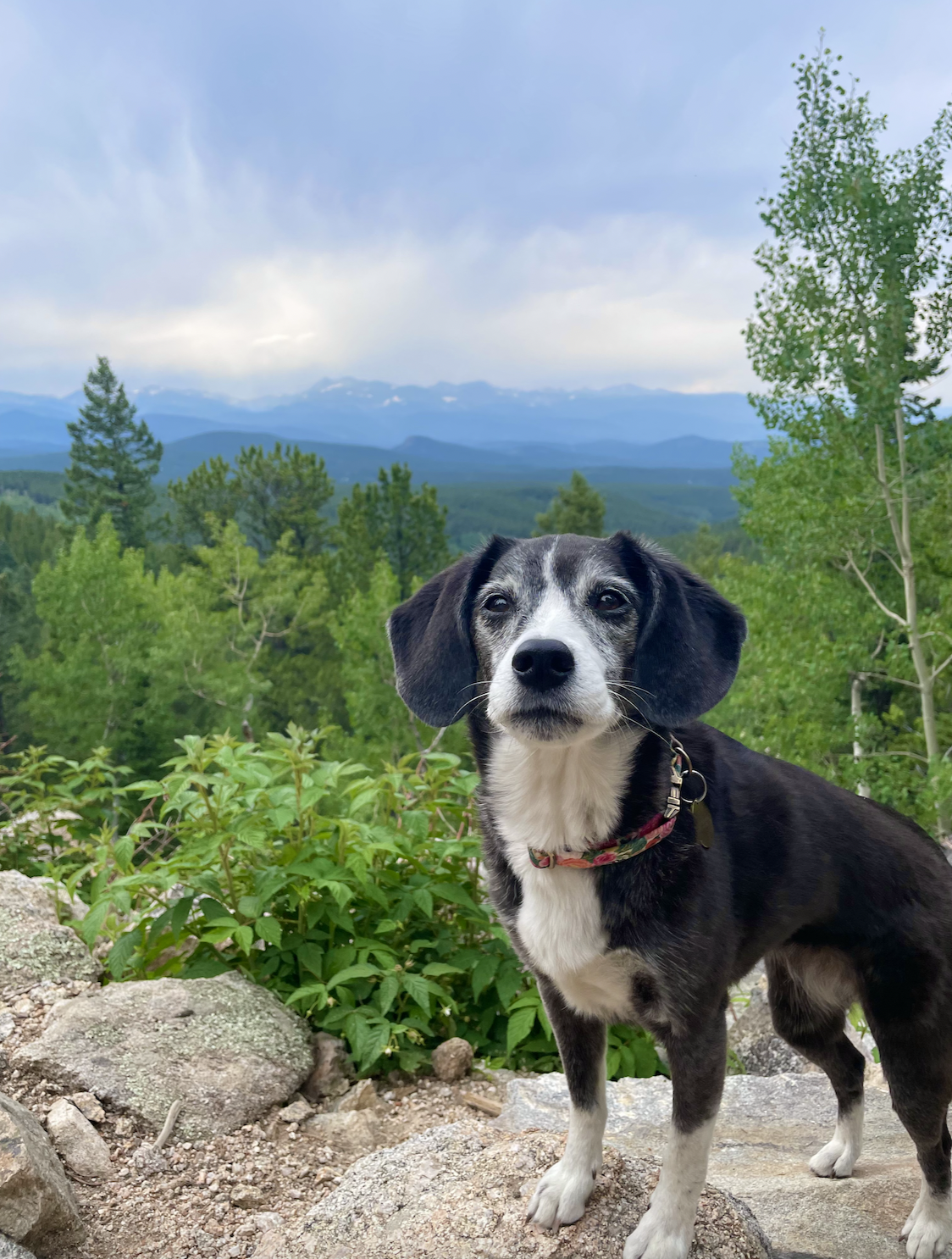
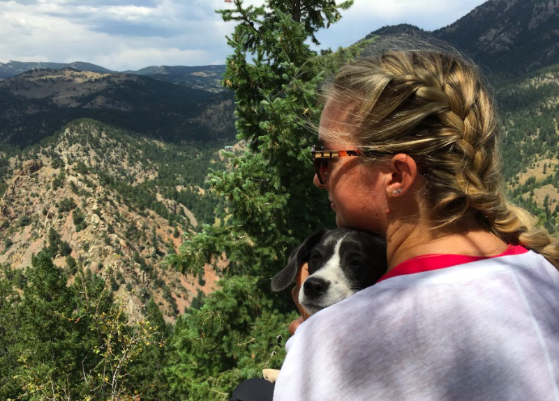
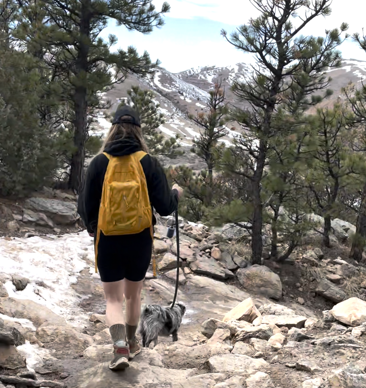
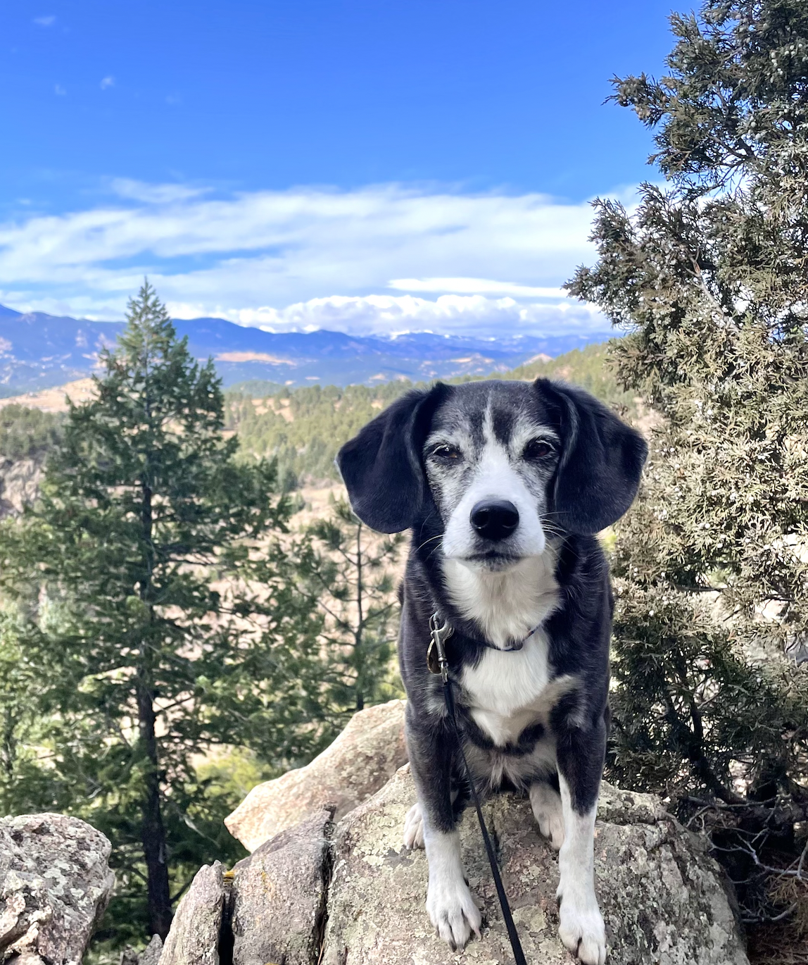
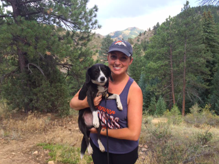
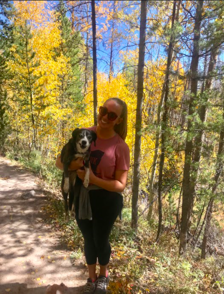
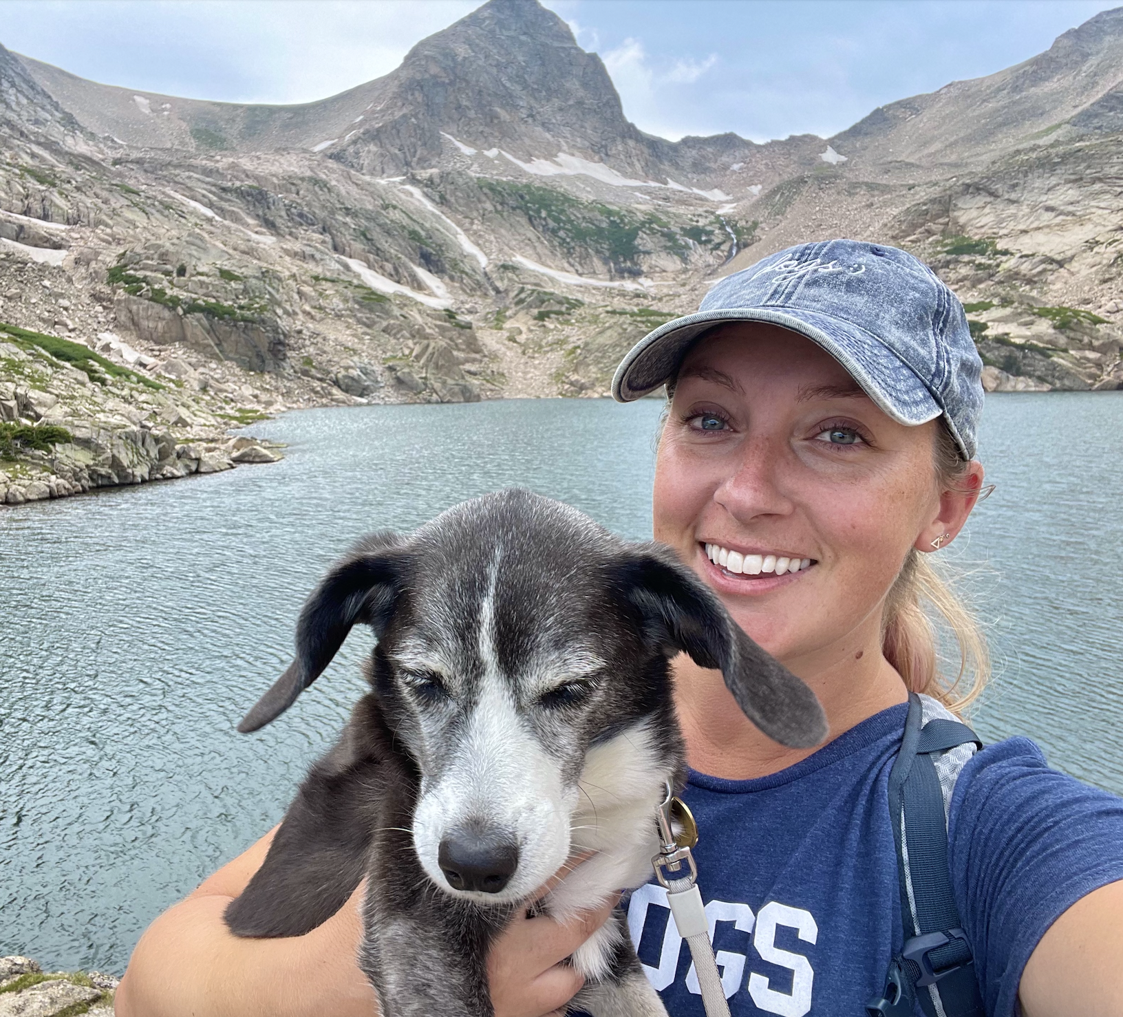
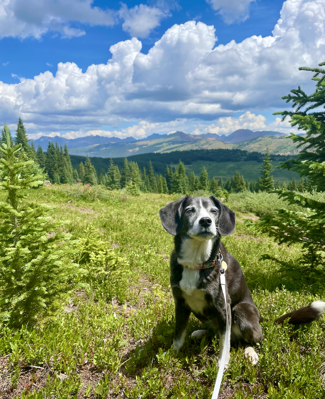
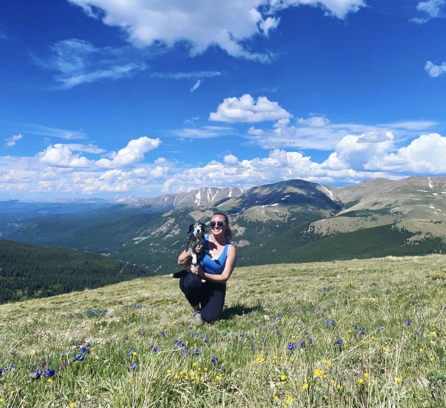
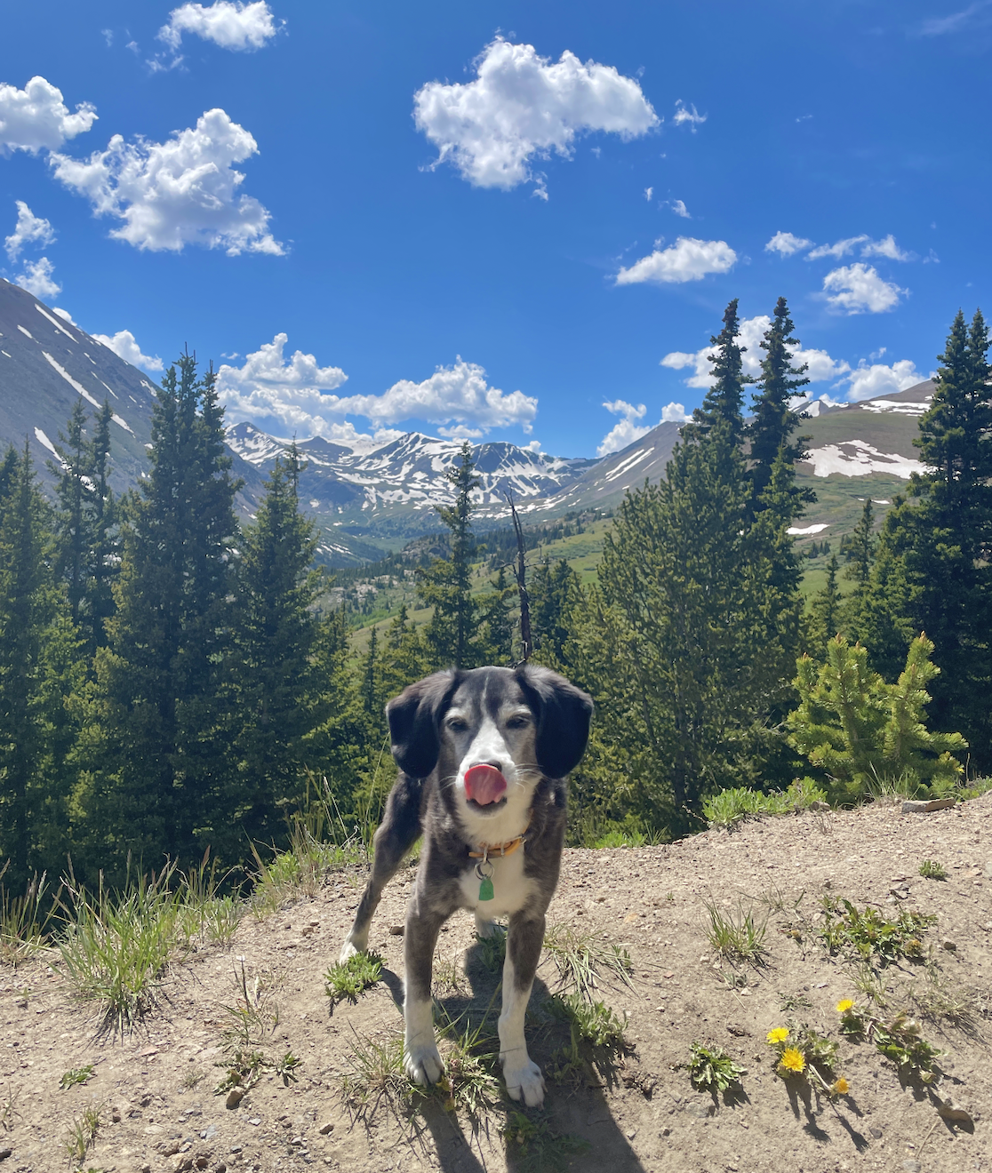
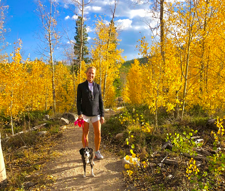
Alice hiking Shrine Ridge Trail near Copper, July 2021
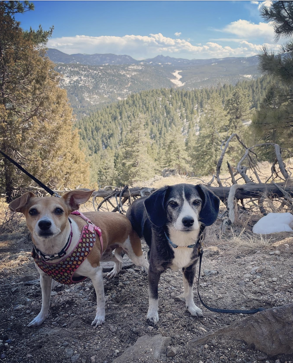
I grew up in Littleton, Colorado, and didn’t truly appreciate the mountains until I left. I think this is common - we take for granted the things that are constant… In college, the flatness of Dallas made me long for the Rockies and I started spending so much more time hiking and exploring whenever I came home. And now, although I am deeply in love with New York City, I need to escape back to the mountains a few times each year.
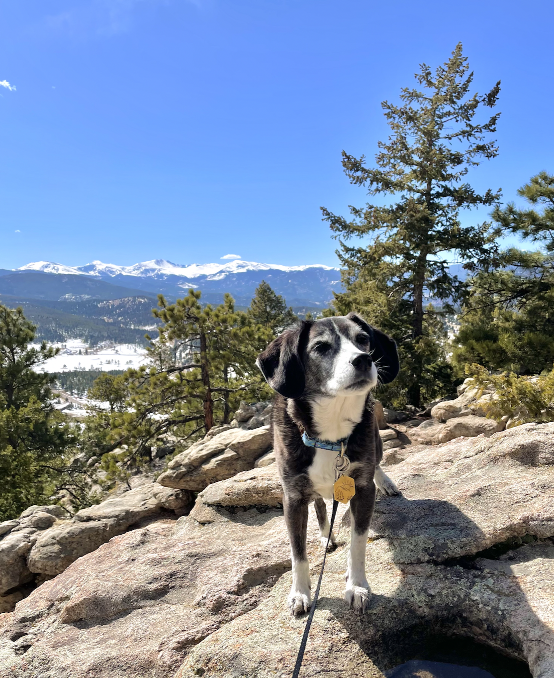
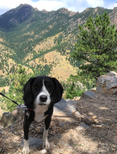
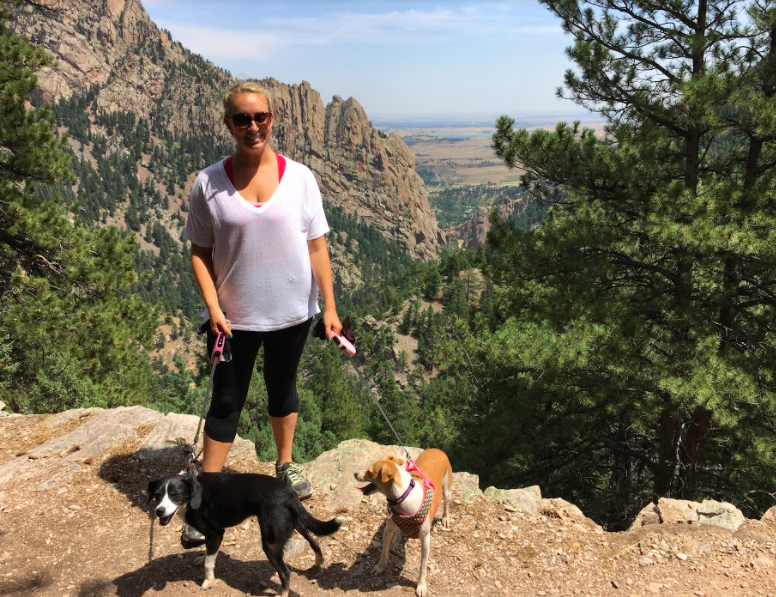
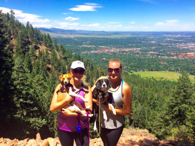
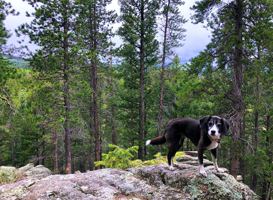
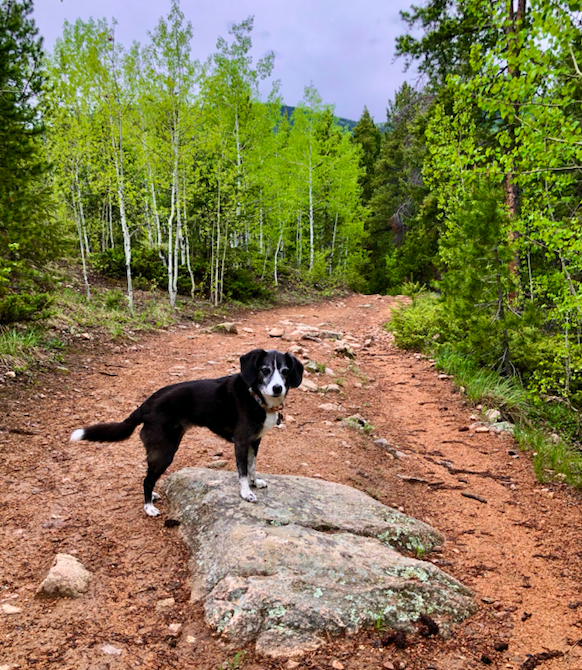
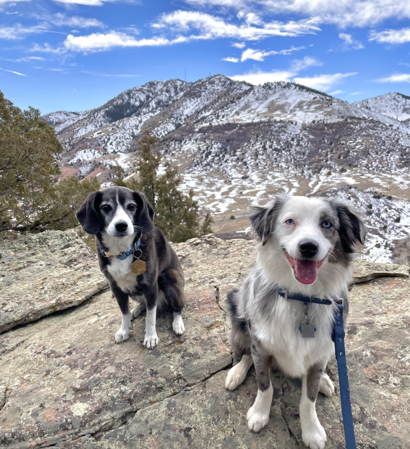
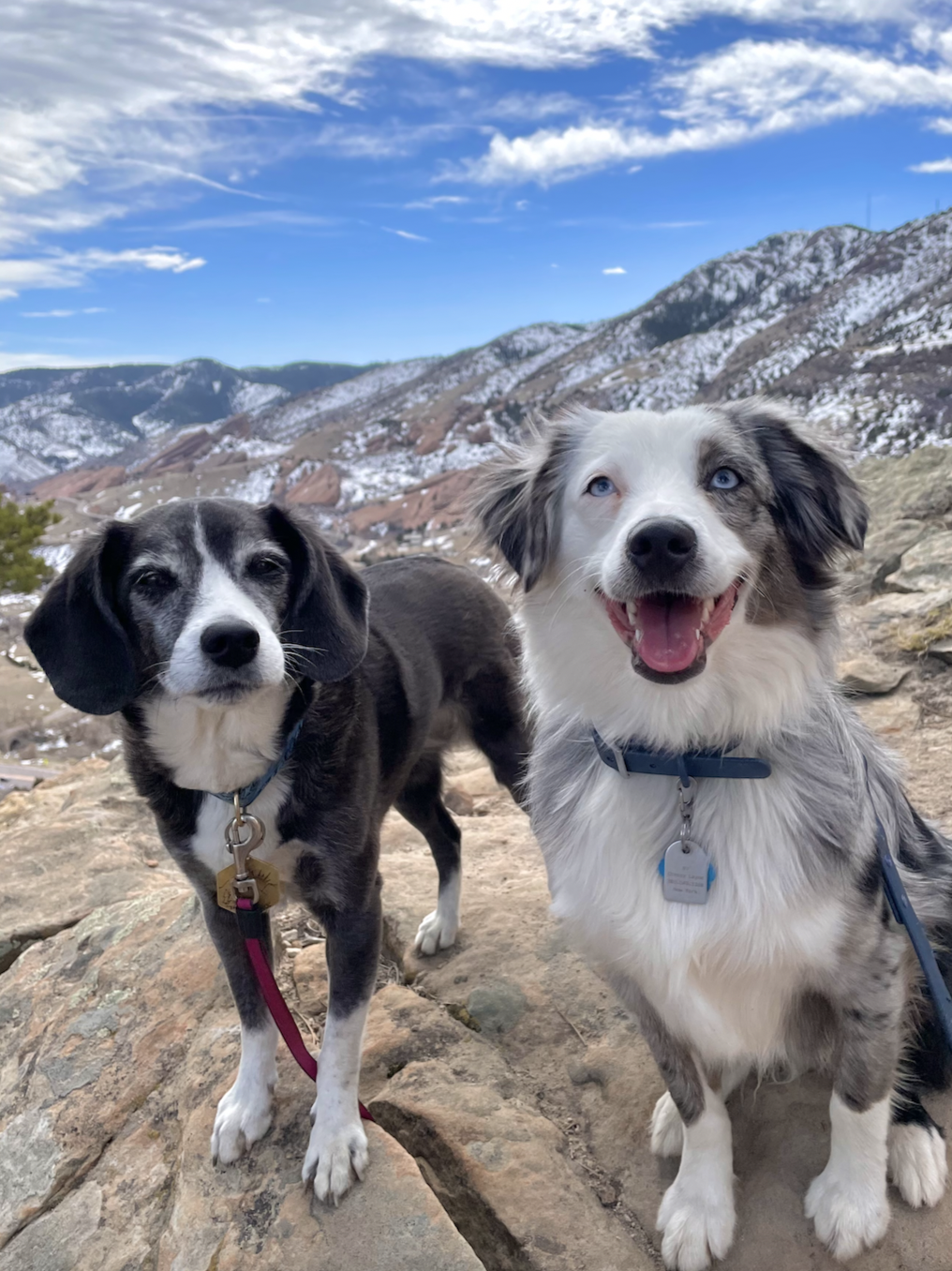
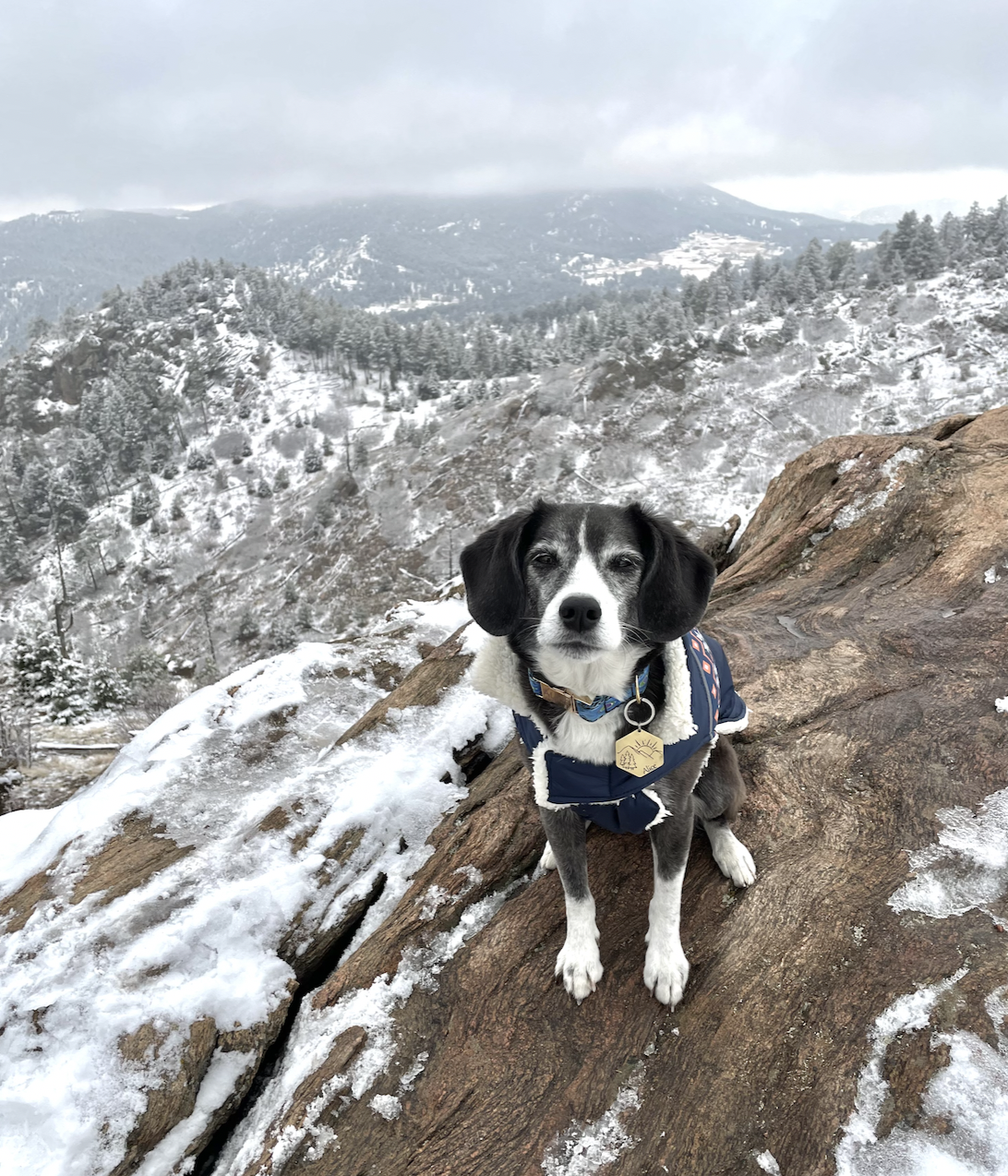
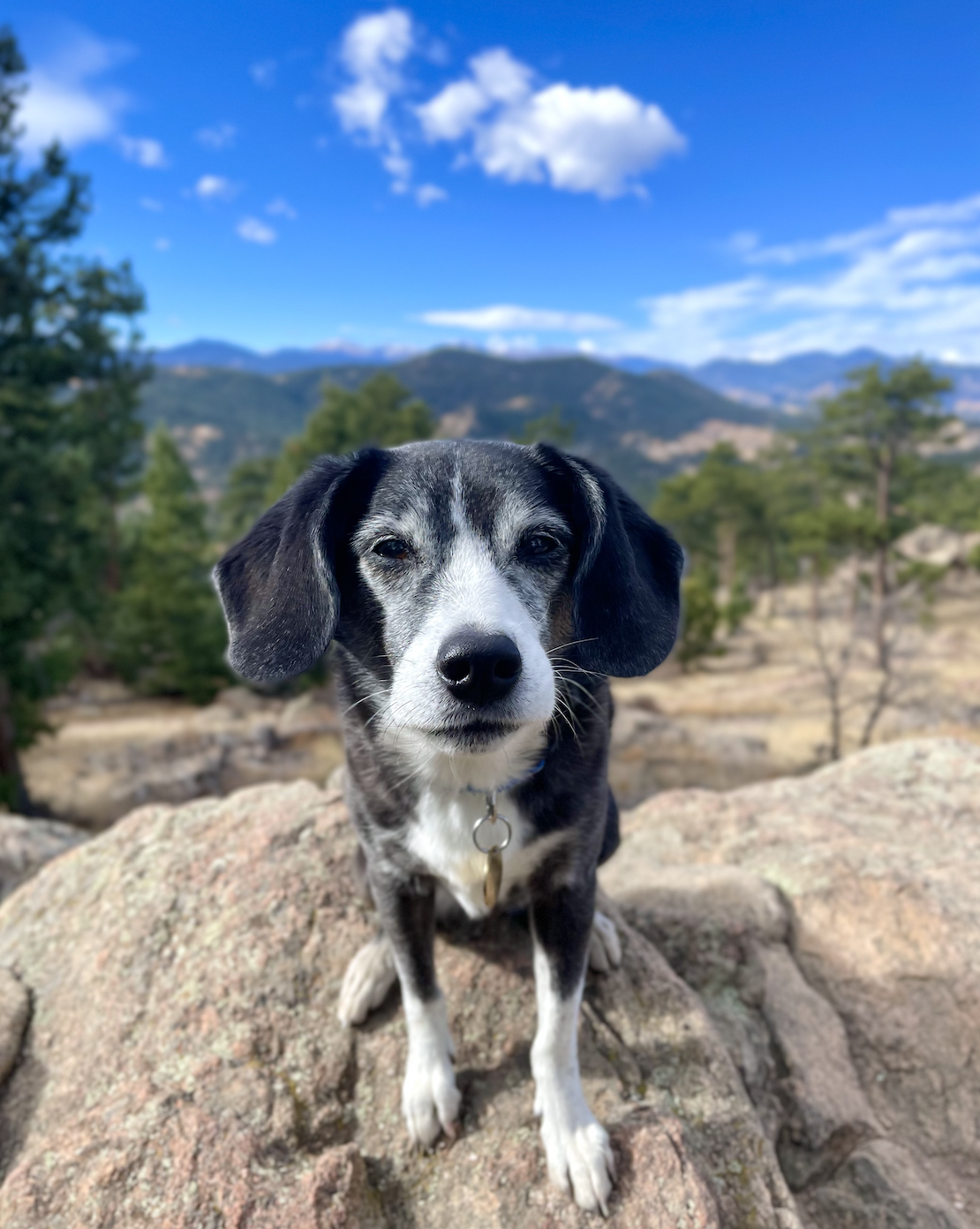
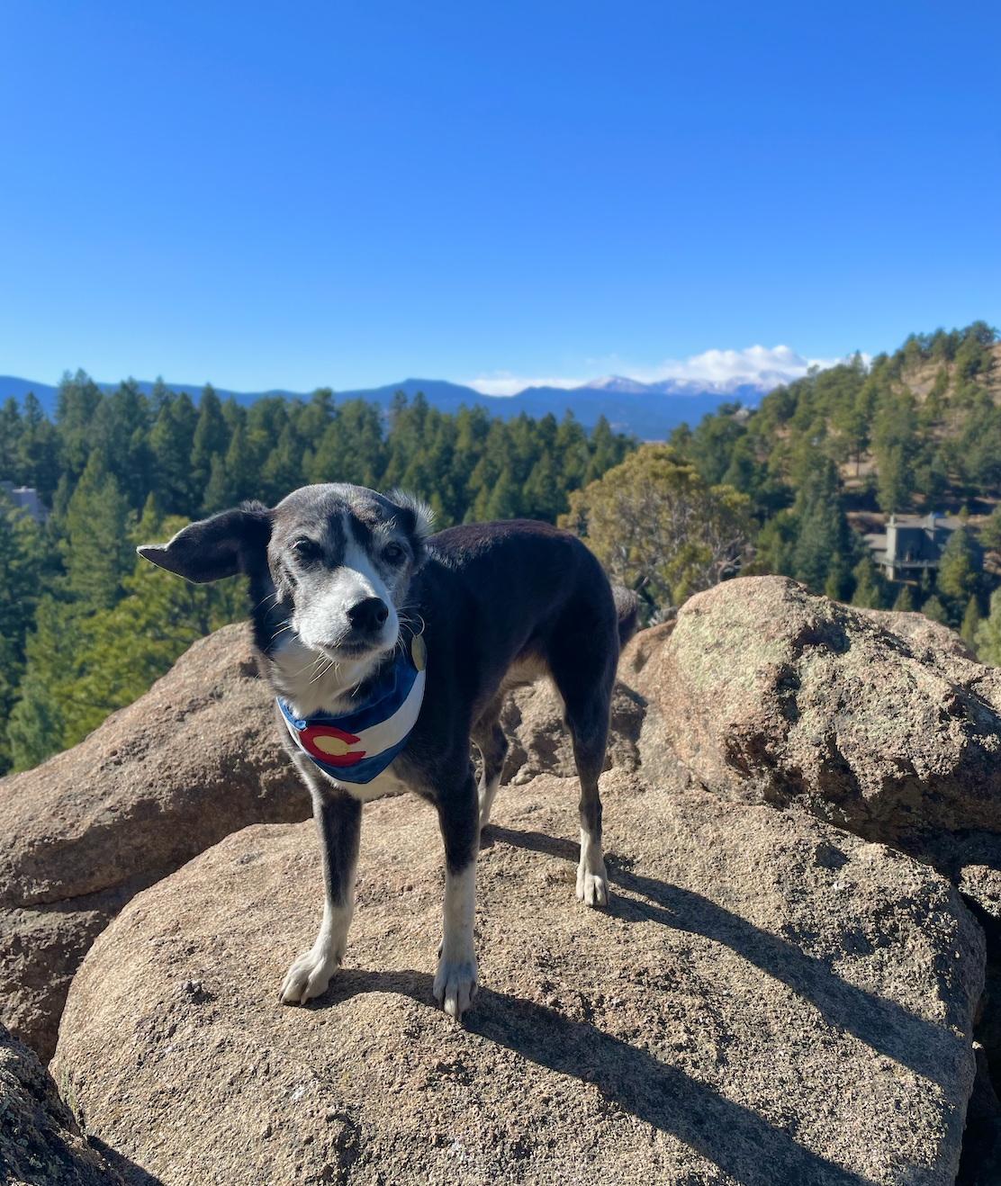
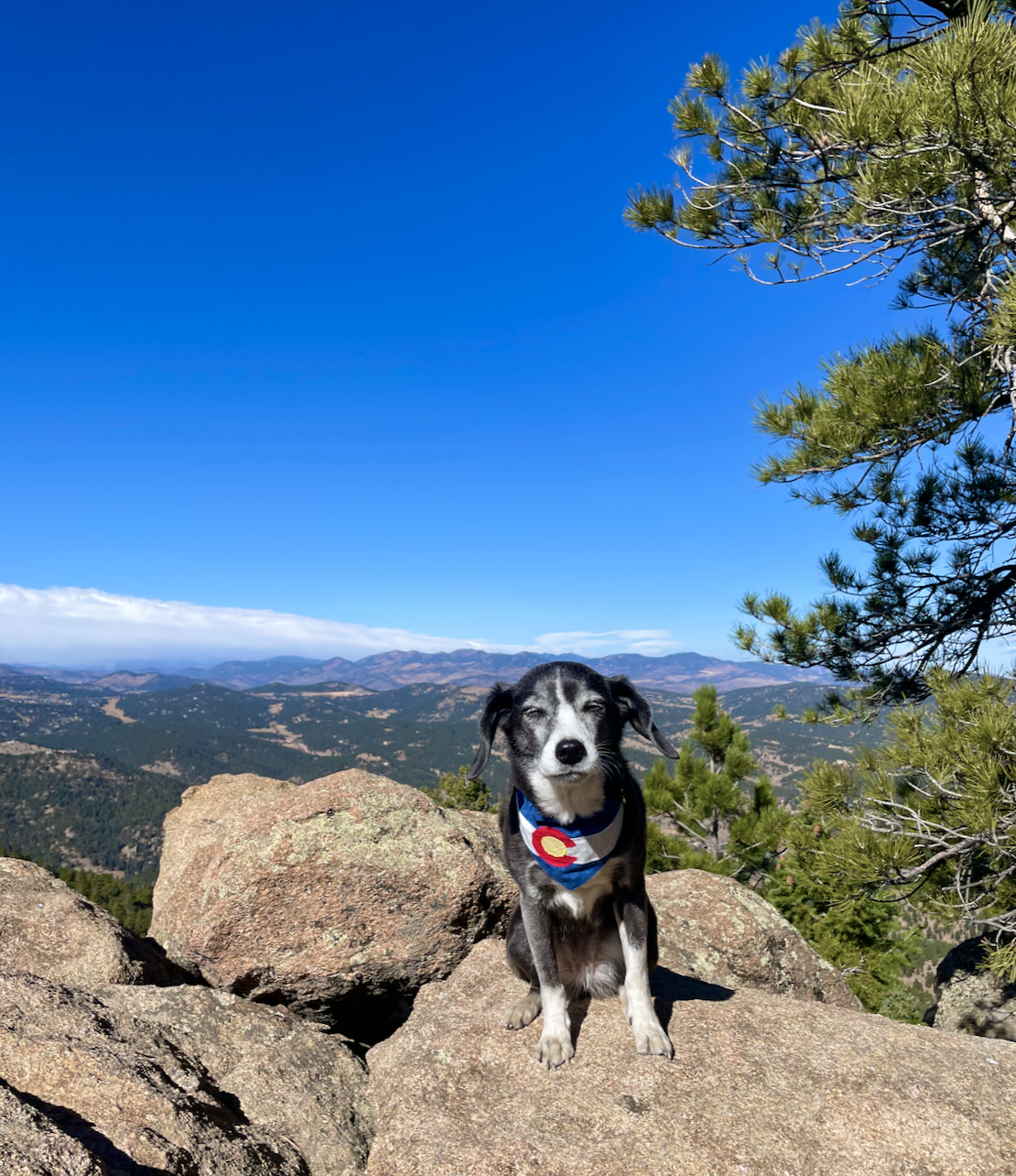
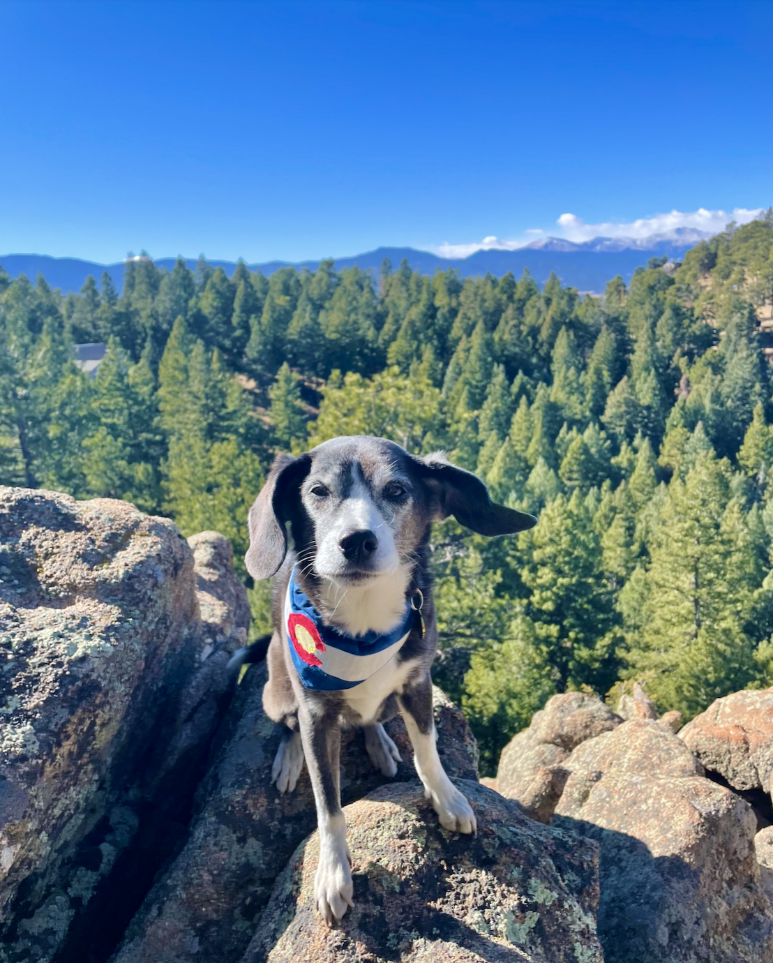
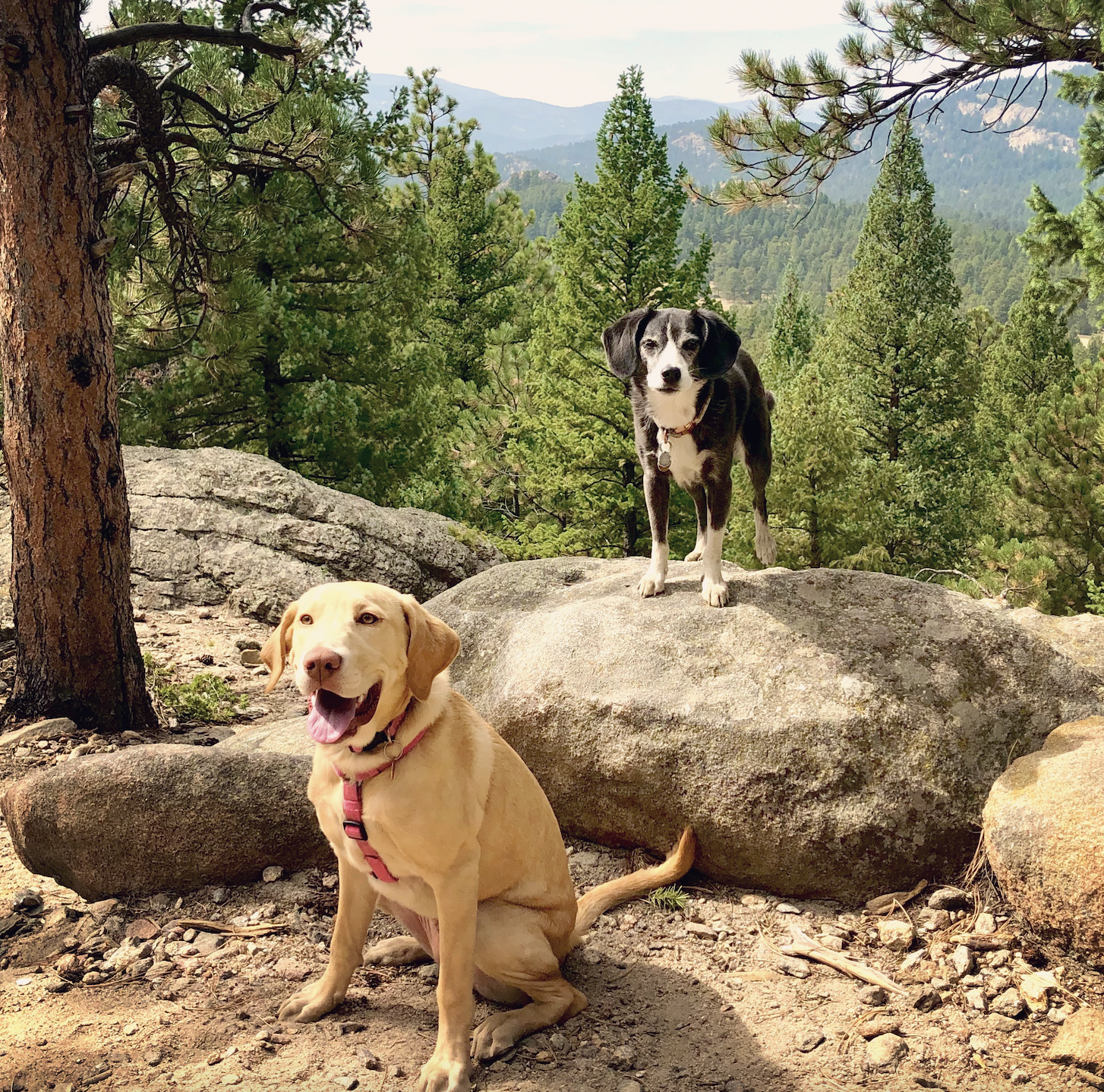
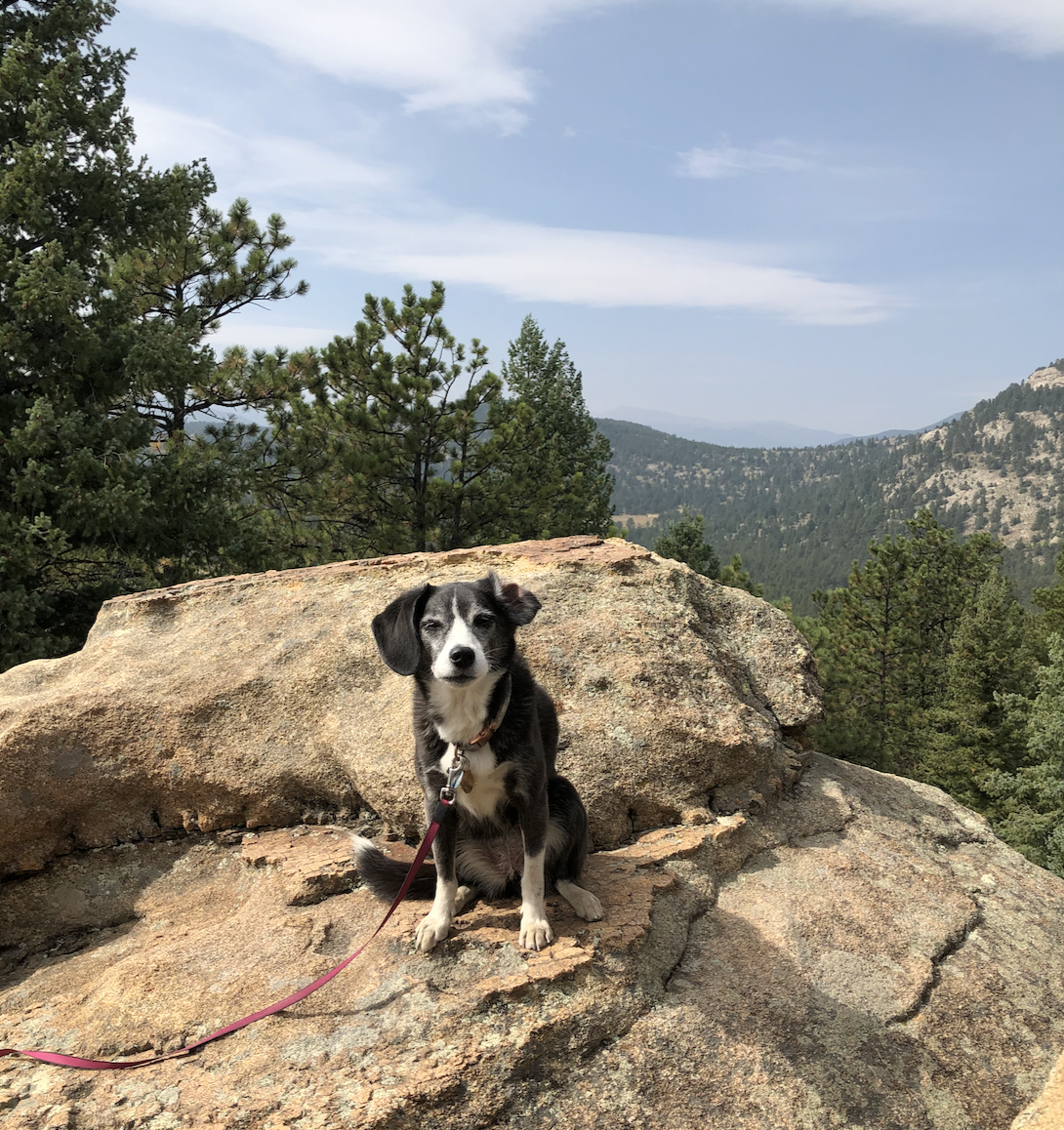
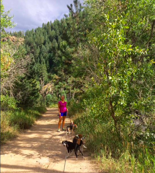
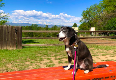
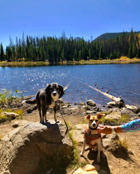
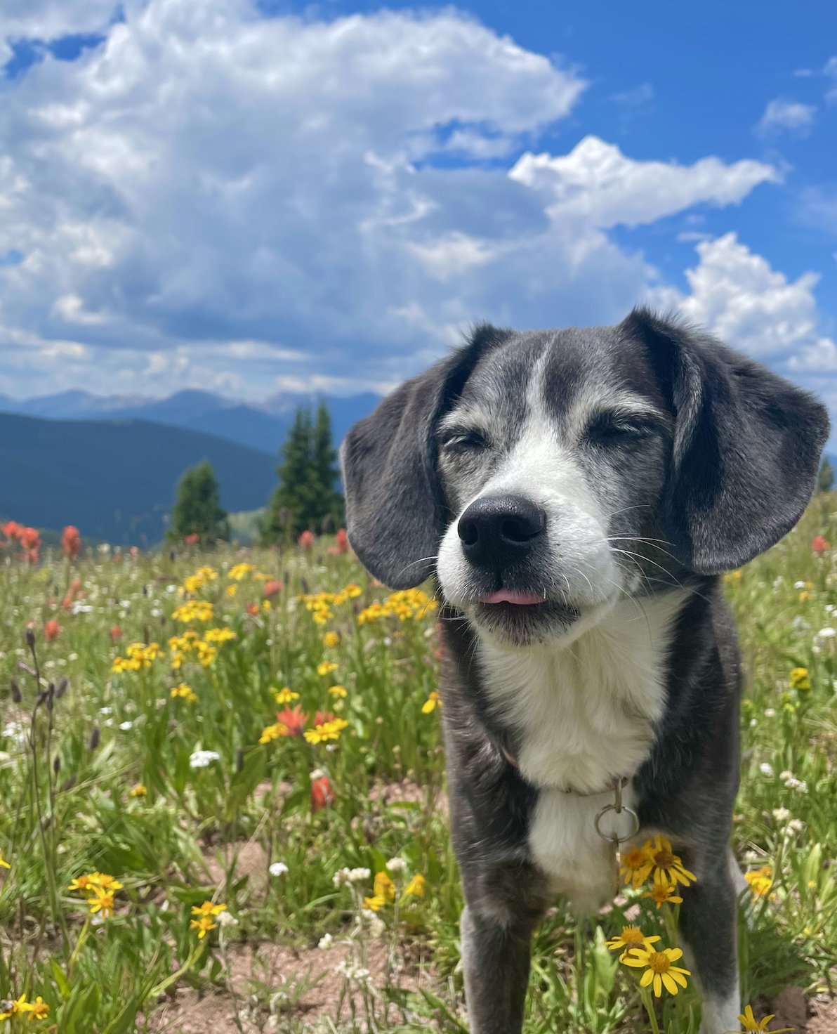
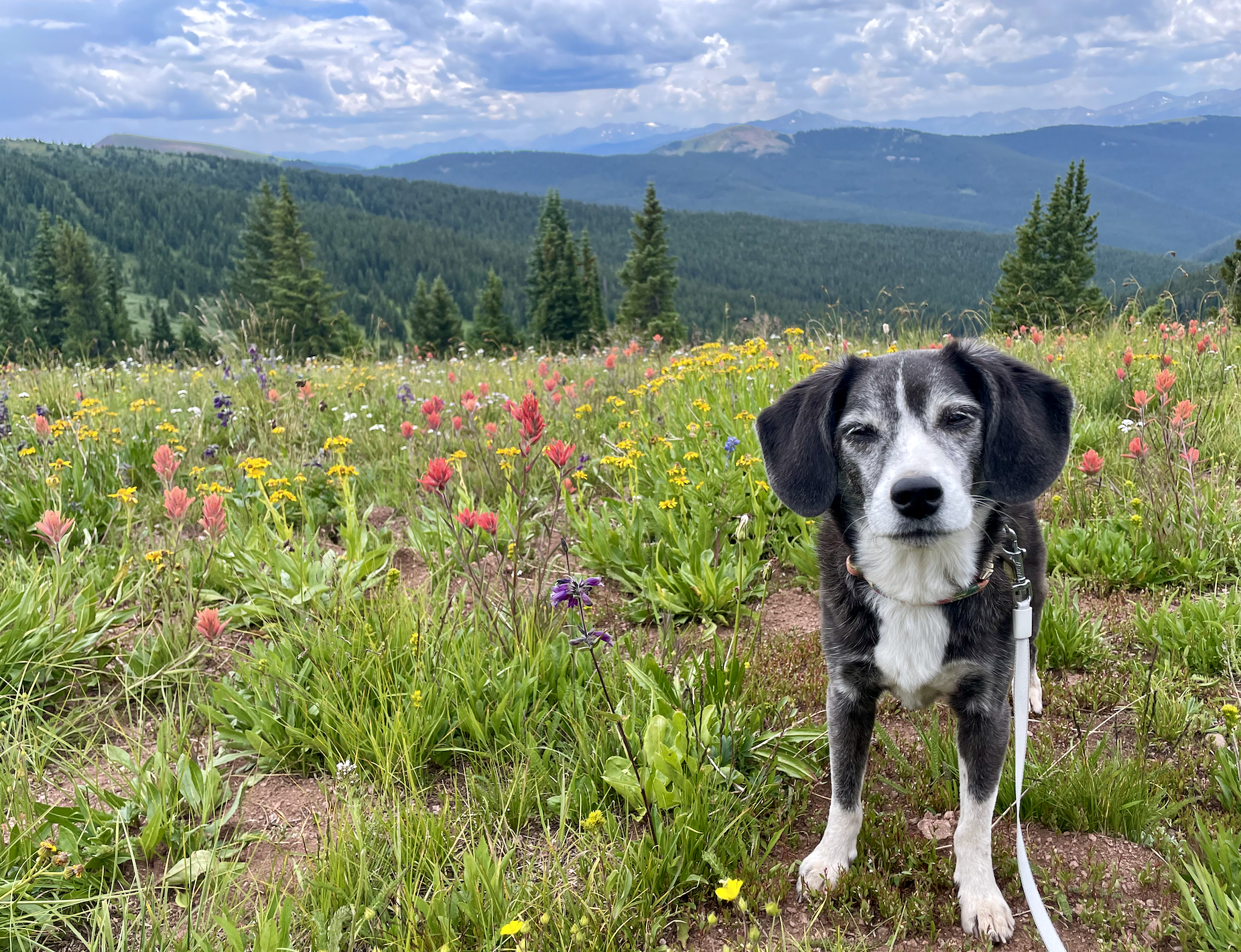
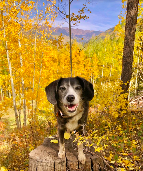
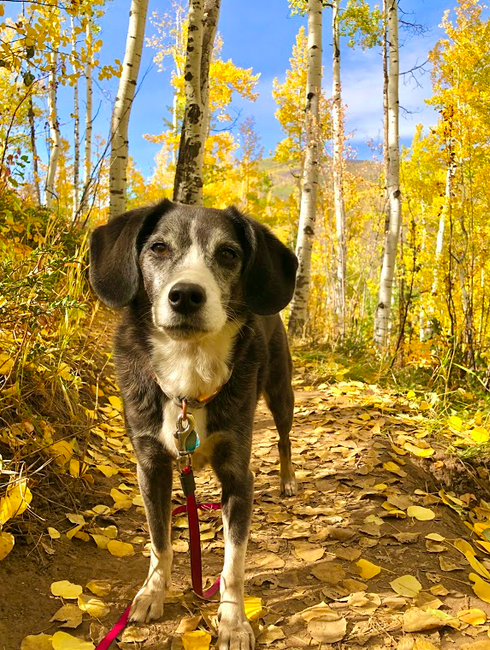
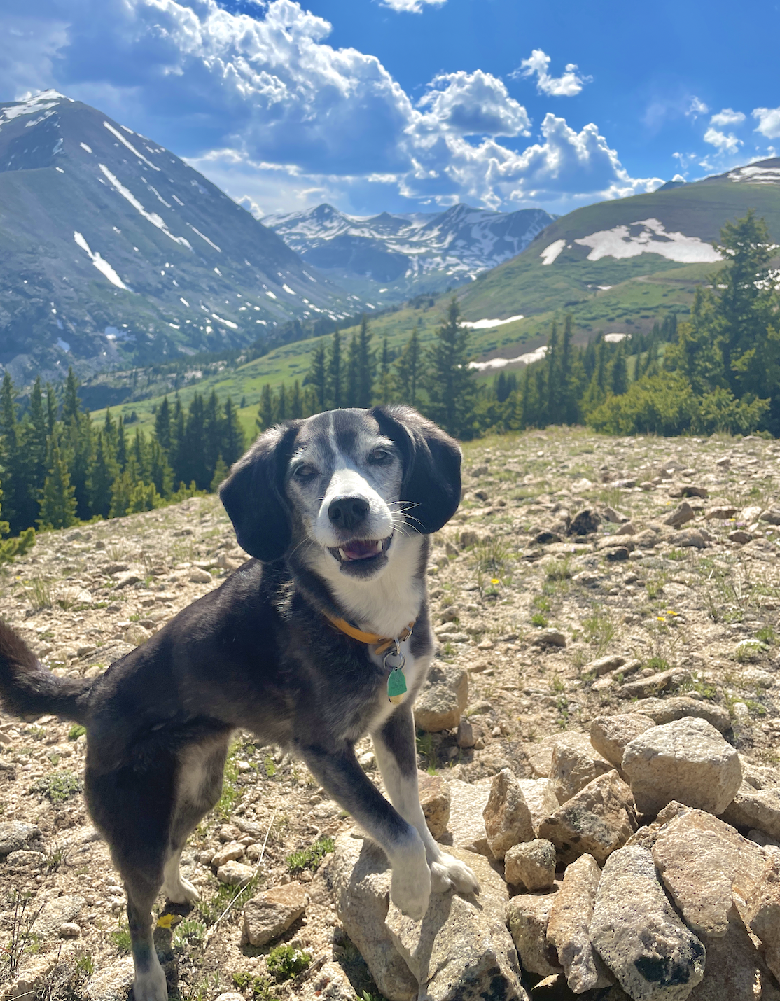
Alice may be small (and getting older), but she is a strong, agile, fearless little hiker! We hike as much as possible when we visit Colorado - often just the two of us, but sometimes friends or family join. Whether you live in Denver or are traveling in from sea-level, it is so important to be aware of the altitude when you are hiking in the Rocky Mountains - this is true for both humans and doggos! Alice and I stick to shorter hikes at lower elevation for the first couple days we are in Colorado, until we’ve adjusted to being a mile above sea level. The summer sun can also be very intense at higher elevation - wear sunscreen and pay extra mind to dark-colored or especially-furry doggies. Even if you’re only planning on hiking a mile or two, bring plenty of water for you and your pup! Take frequent breaks and be extra alert about their energy level.
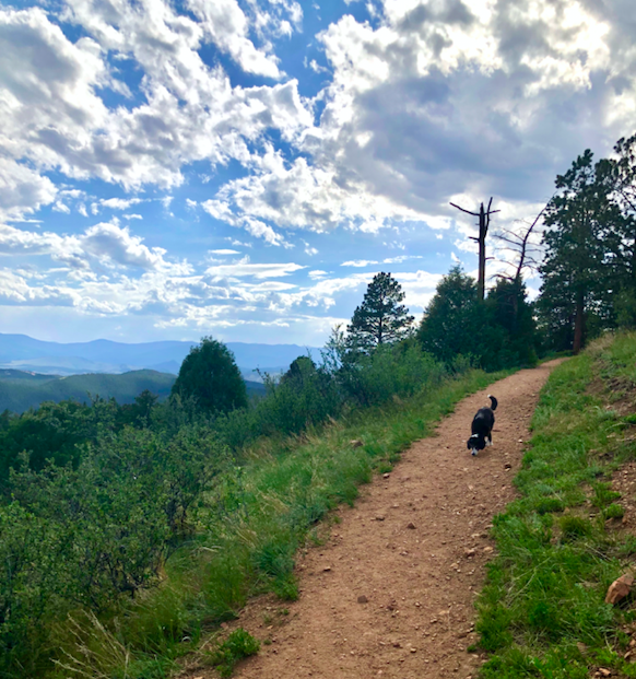
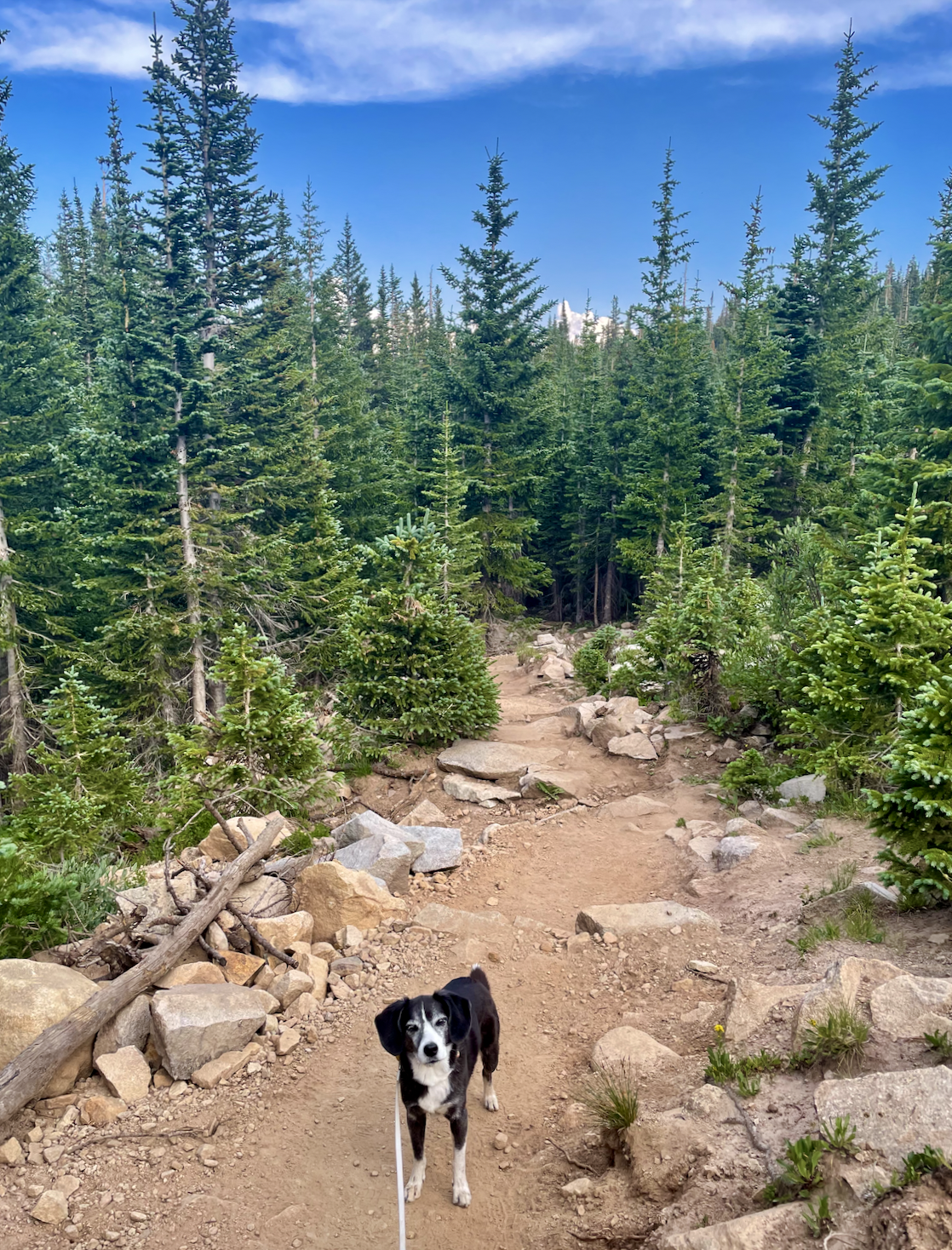
I’m separating these dog-friendly hikes into two groups: those that are an hour or less drive from Denver, and those that are one-to-two hours drive from downtown Denver. This is approximate, and if you’re staying outside of Denver the drive time may be different! Unfortunately, there aren’t a lot of options to get to hikes without a car. Some of these hikes involve unpaved roads that are rocky and a bit questionable… so a higher-clearance vehicle is recommended. Also expect that the trailhead may be out of service for your cell provider! So pay close attention to the directions and your surroundings so you’re able to get back home, even if you can’t connect to Google Maps right away.
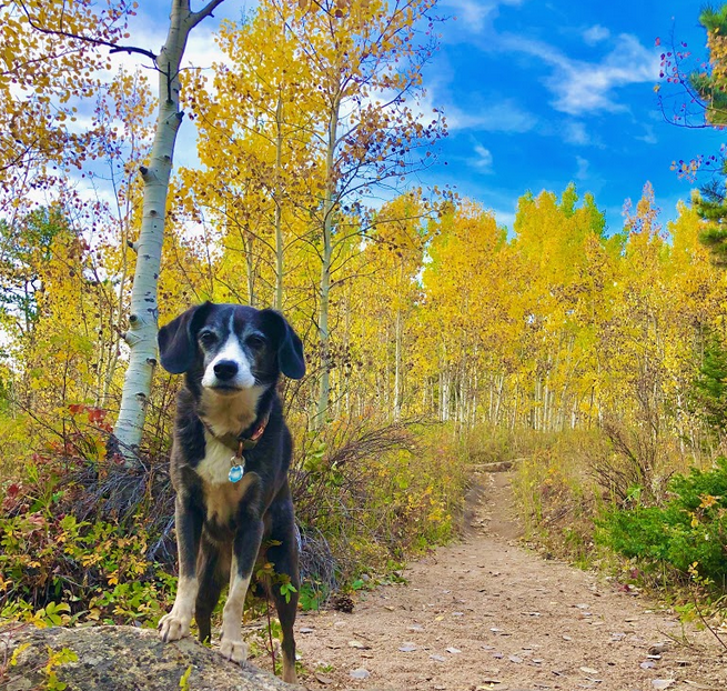
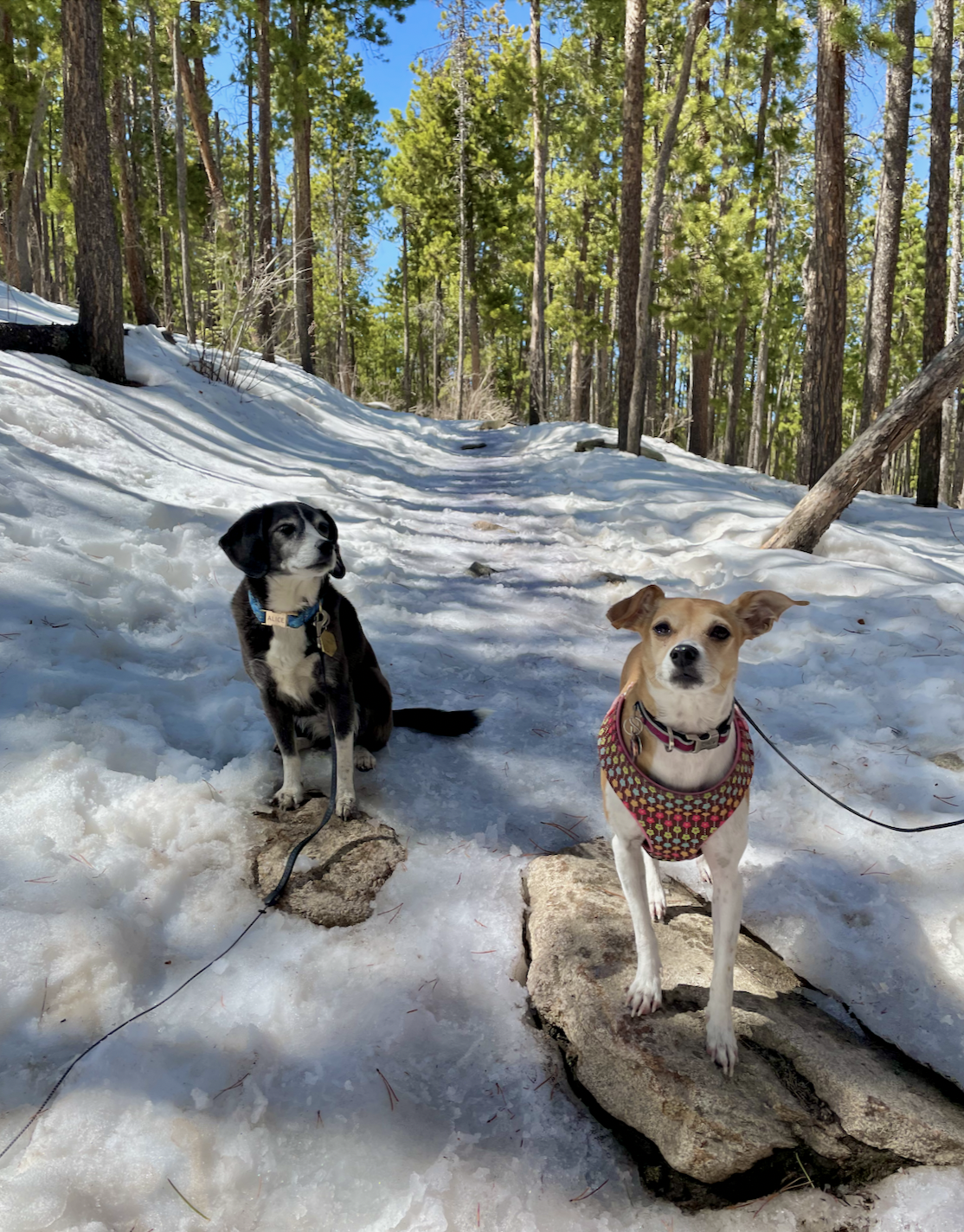
Especially further into the mountains, many of these hikes are only (easily) accessible from late spring to early fall. Even in June or July, you may find wet or muddy conditions on trails because the snow sticks around at higher altitudes. You may be able to check recent trail conditions by looking at comments on All Trails, or other websites for the specific trail you’re hoping to hike.

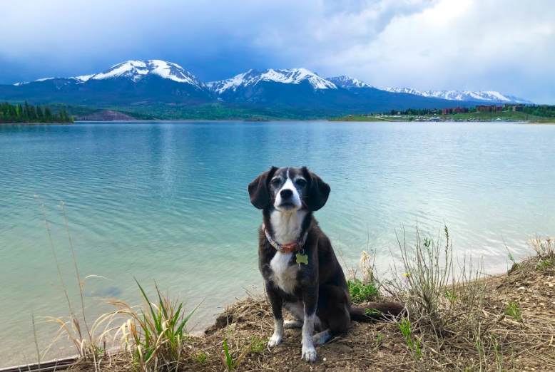
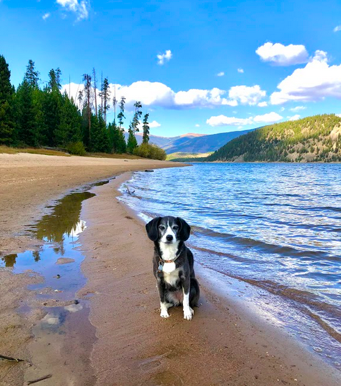
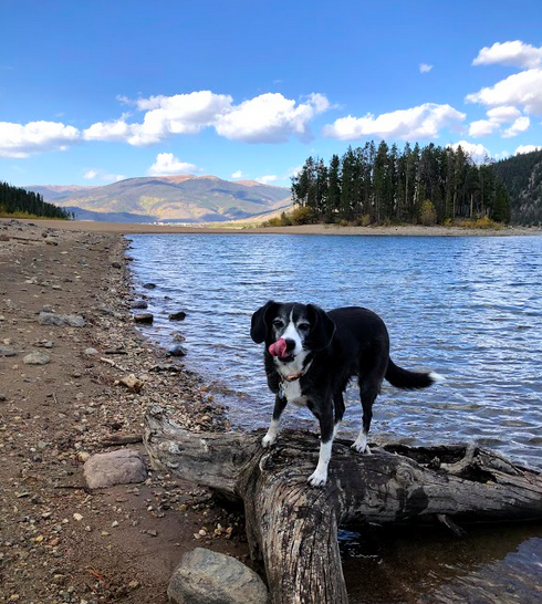
Lake Dillon, September 2020
Hikes within an Hour of Denver
My very favorites are listed first!
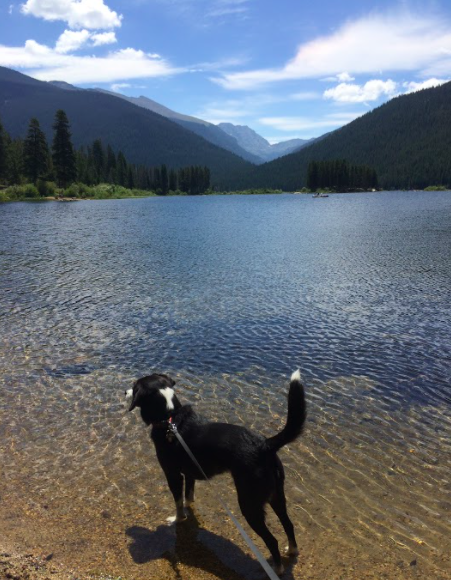
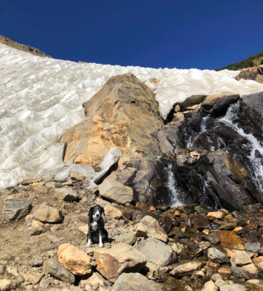
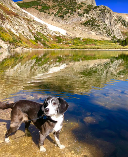
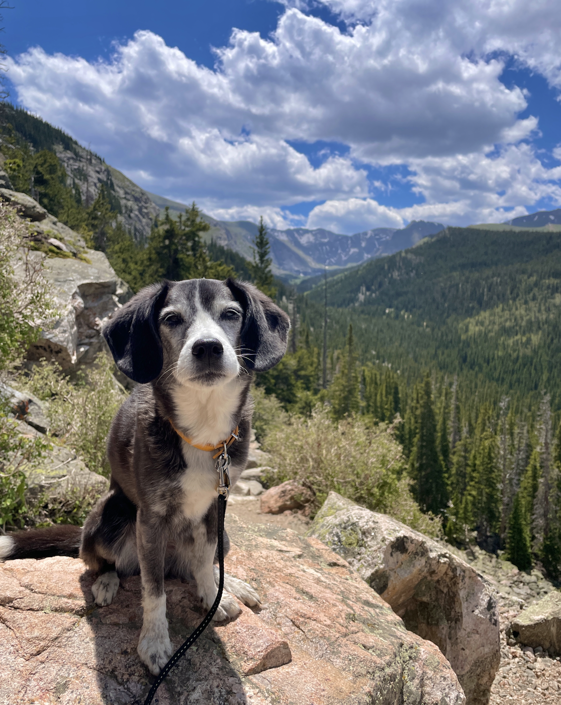
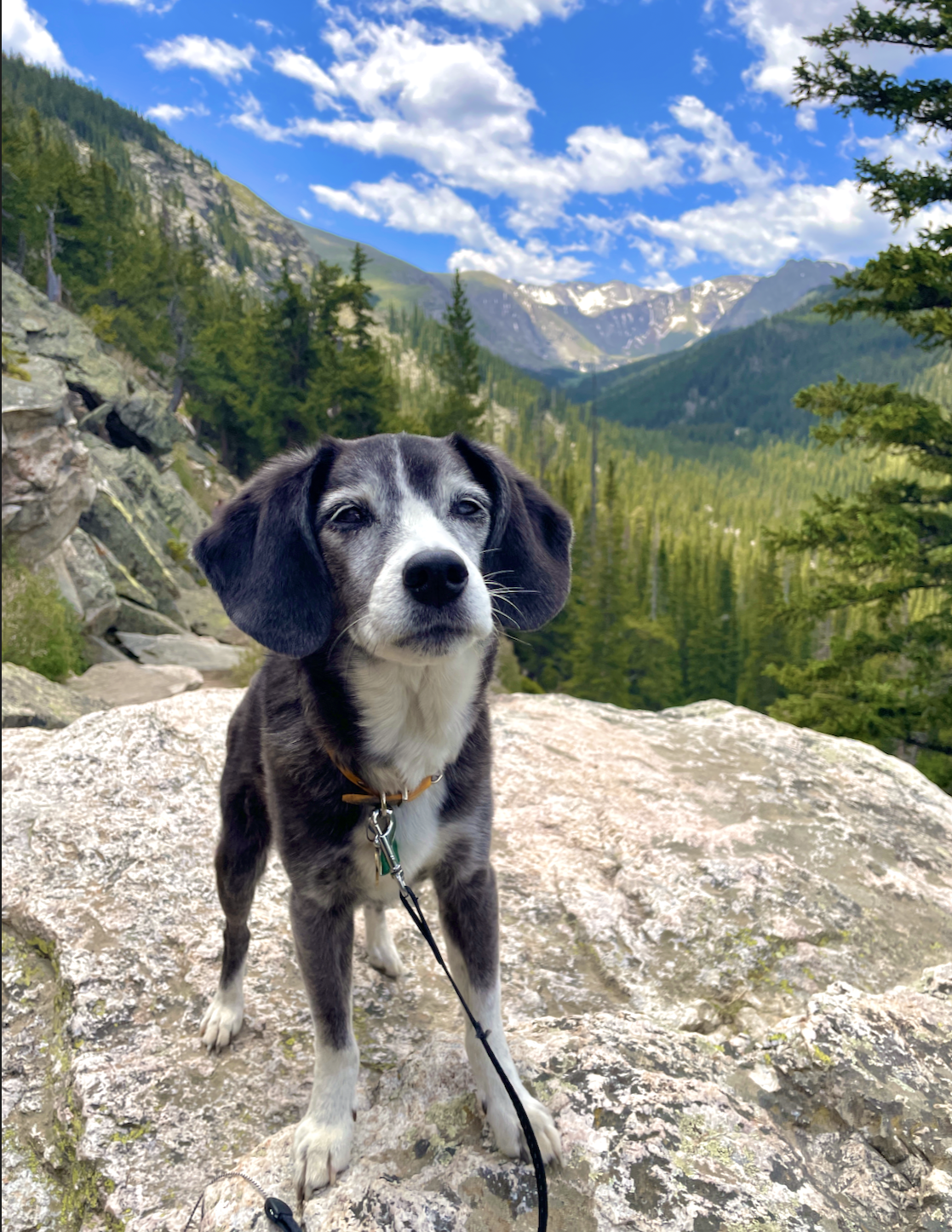
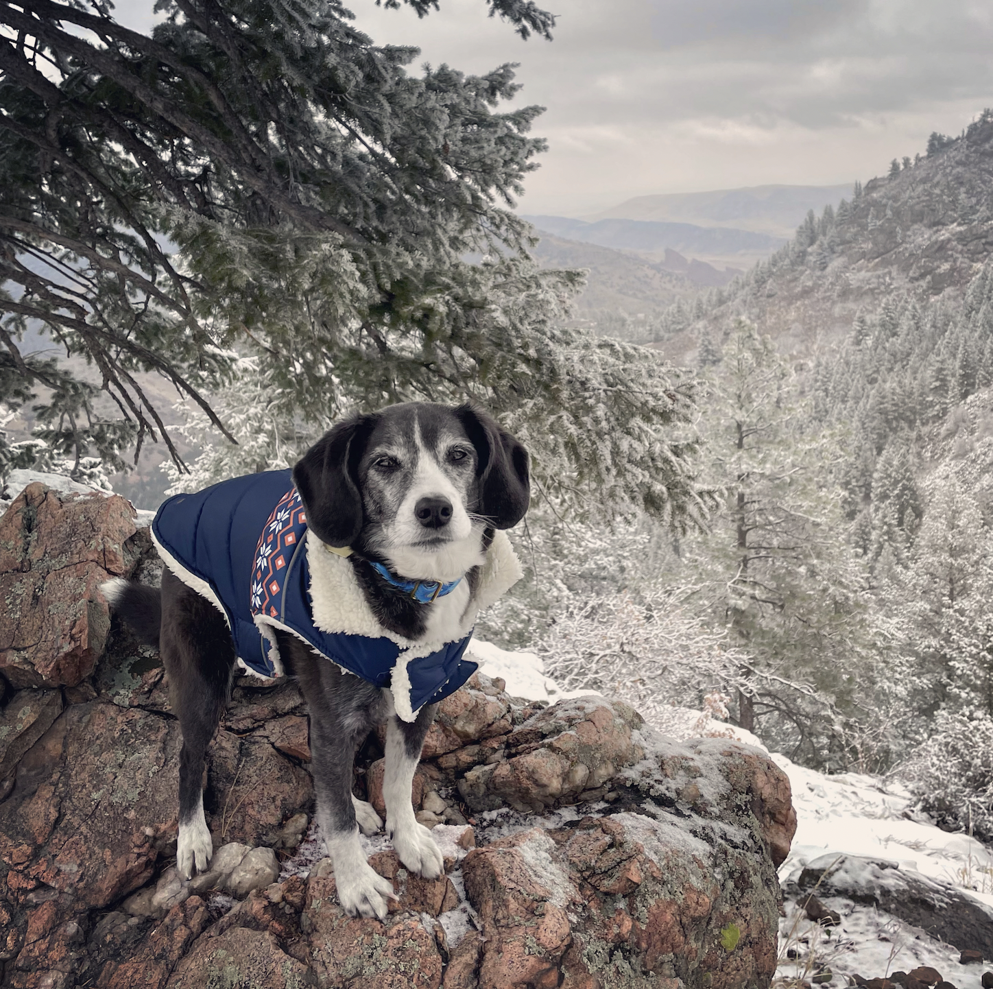
St. Mary’s Glacier is probably my favorite place in the world! The views are magical and Alice loves to run around the snowy glacier in the middle of summer and to wade in the snowmelt lake. The hike up to the lake is quite short, about 3/4 mile, but steep and rocky. I recommend continuing around the lake and up the glacier a bit, though! You can also camp at this site. There are two parking lots on either side of the trail head, which are $5 cash and there are restrooms in the lots.
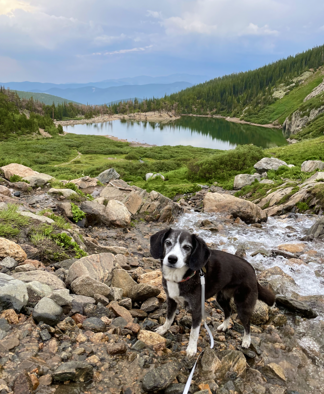
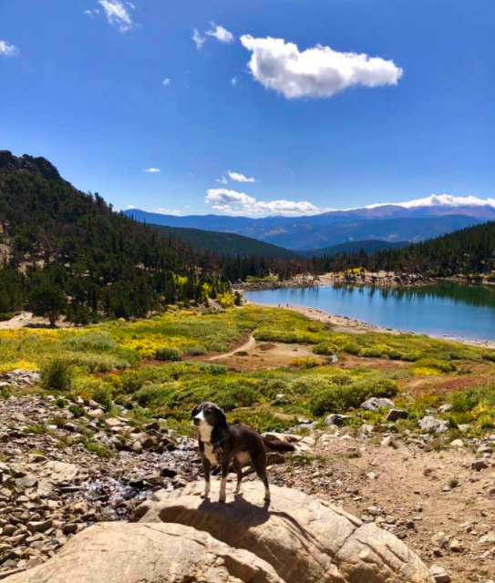
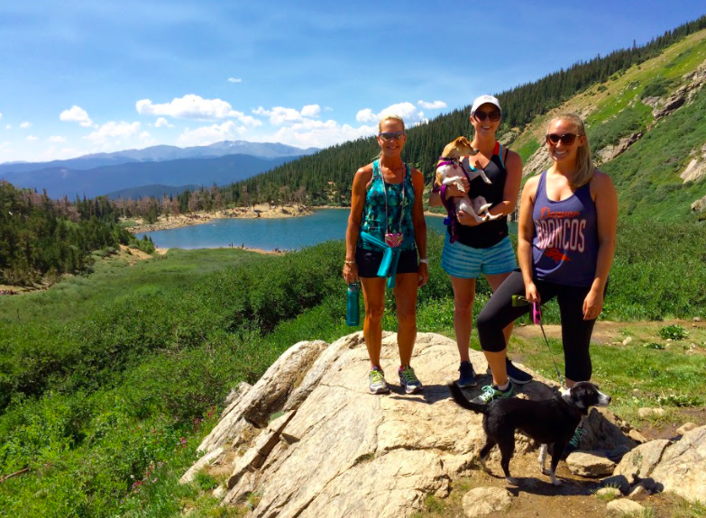
This moderate, four-mile trail is very close to the St. Mary’s Glacier trail, and goes up to another magnificent alpine lake. The majority of the trail up to the lake is a service road, but with nice views. The lake itself is beautiful, and you can hike around it a bit, or to the upper lakes if you dare! On a weekday in July there weren’t many other people on the trail.
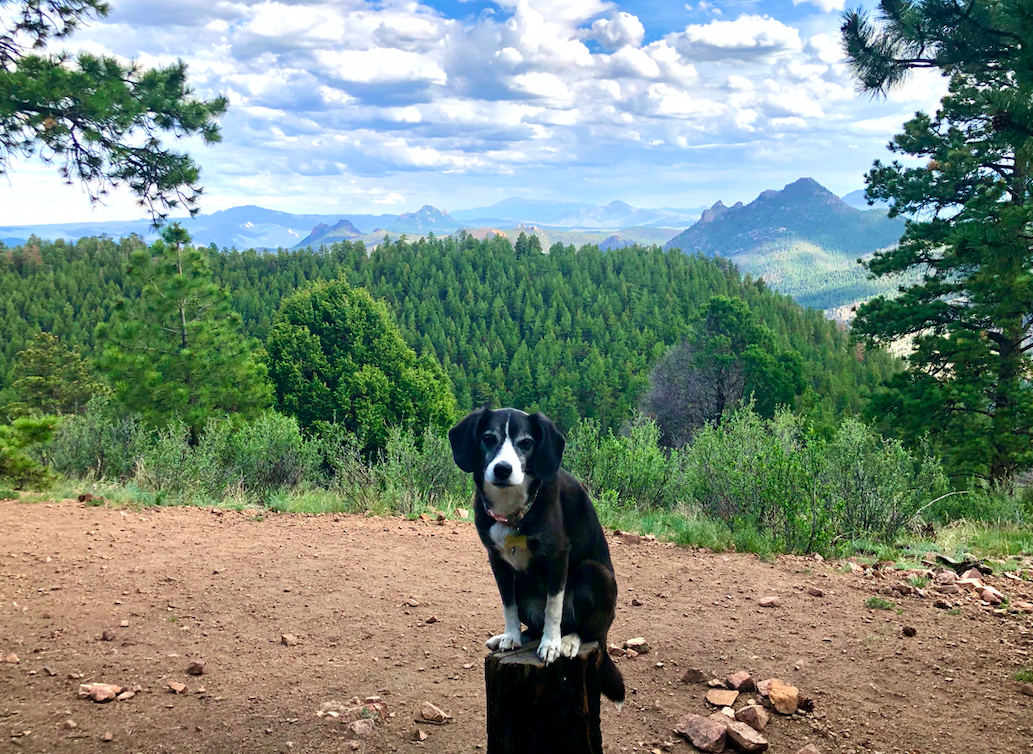
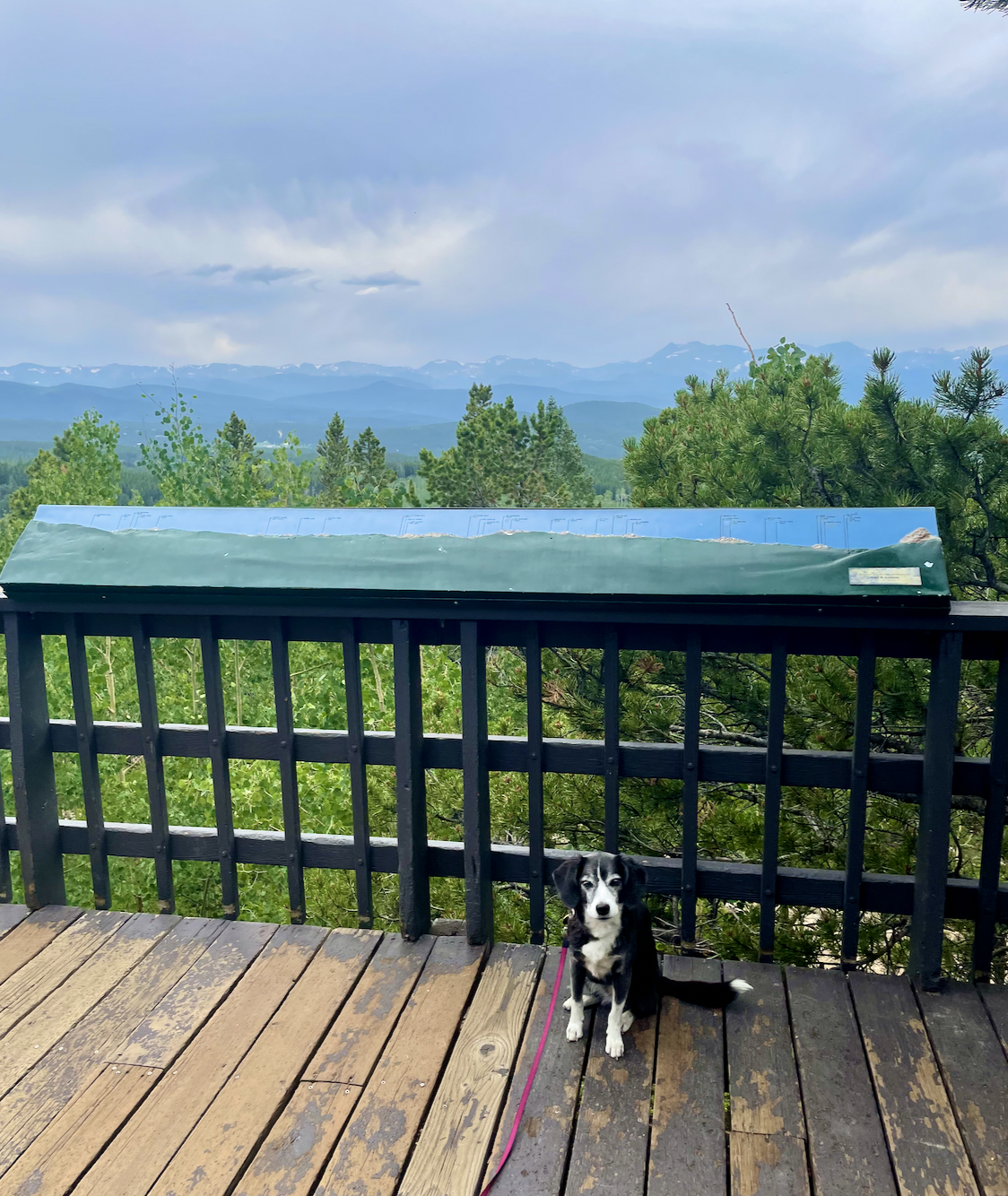
Eagle View Trail in Reynolds Park has one of my absolute favorite views! You can see Pikes Peak as well as many other mountains. There is a lot of shade, some creek access, and it’s normally not too crowded. Highly, highly recommend this moderate (steep at times on the way up) four-mile loop trail near Conifer. Free parking at the Reynolds Park Trailhead, which also has restrooms!
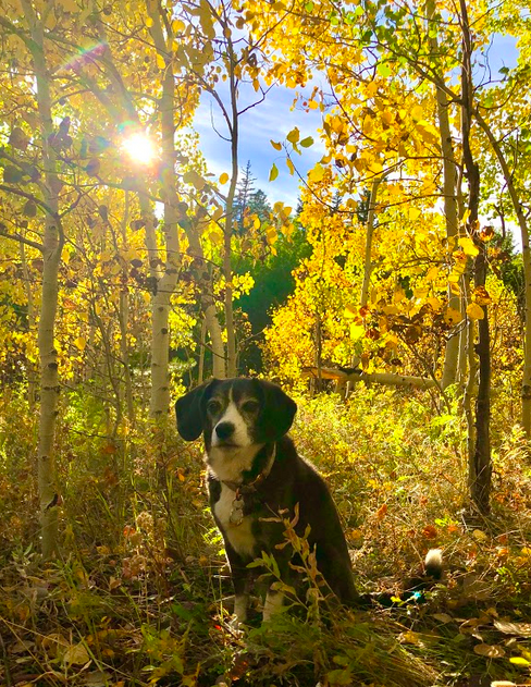
Alice and I love this park. There are several different trails, all easy to moderate - some are hiking only and some are for hikers, mountain bikers, and horses. All trails are dog-friendly, as long as dogs are kept on a six-foot leash. One of the closest trailheads is Horseshoe trail, which is just past the visitor center. This trail has so may wildflowers in late spring and summer, plus incredible golden aspens and fall foliage in September/October. But it’s worth driving a bit further to Panorama Point, with stunning views, and take the Mule Deer Trail or Raccoon Trail. Pay for a $10 day pass at the visitor center (which has restrooms) when you arrive. You can also camp here!
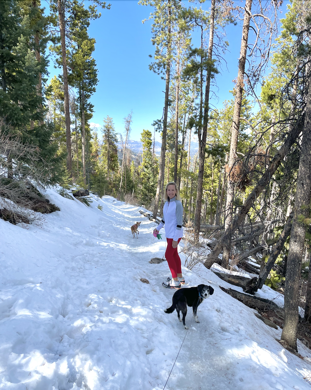
I hiked this moderate, four-mile trail with my mom, Alice, and Emmy in early April. The trail was snow-packed, so we used Yaktrax traction cleats, which you can pull over your regular hiking shoes/boots. The mountain was so beautiful in the snow - the contrast of the trees against the white ground looked amazing. There are several viewpoints, including one of Mt. Evans.
Echo Lake to Idaho Springs Reservoir
Echo Lake itself is quite beautiful, and this would be a great stop if you’re driving up to Mount Blue Sky (the highest paved road in North America). This trail is really fun, with some gorgeous views and stream crossings. The trailhead is about an hour from Denver.
The views at the Continental Divide Overlook are divine. It’s a pretty steep incline in parts, and you’ll also pass some cool hotel ruins on the way up! I would park and start here and take the short Fowler Trail to Rattlesnake Gulch Trail to make it a 3-4 mile hike (depending on if you take the loop at the top or not). There’s a $10 fee per vehicle, and restrooms at the Fowler trailhead.
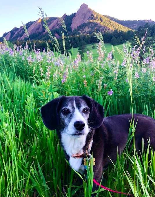
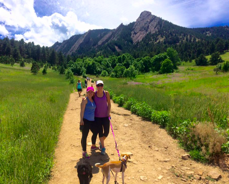
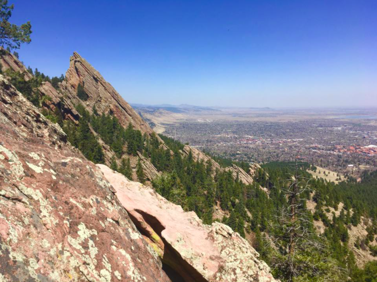
The Flatirons are an iconic backdrop of the Boulder area. You can hike through Chautauqua Park to reach the first and second flatirons on a 3.5-mile out-and-back trail. It’s a moderate-to-difficult hike, which requires climbing some boulders near the top! This may not be possible for many dogs, but the hike up to that point is great too. There are plenty of other trails in the park that you can explore as well. Chautauqua tends to be very crowded in the summer, so stick to early mornings or weekdays if you hope to find a parking spot!
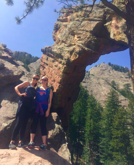
The Royal Arch Trail is also part of Chautauqua Park in Boulder. I would describe this four-mile hike as moderate, but it does have some steep spots and some large rocks to climb on/around. Once you reach the top, you’ll find an incredible, large, stone arch and views of Boulder Valley below.
Maxwell Falls is a very popular four-mile hike near Conifer and Evergreen, so parking can sometimes be difficult - there are two trailheads, lower and upper. The trail itself is mostly shaded with nice views and cascading waterfalls. The hike is pretty easy, free parking, no restrooms.
This trail is in Corwina Park in Morrison. It’s an easy three-mile hike which involves an out-and-back trail along a creek that takes you to the Break Creek Trail loop. Halfway around the loop you’ll find Panorama Point which has a great view of the Continental Divide. The trailhead is incredibly easy to get to and parking is free - although this trailhead does not have restrooms, you can find them at the nearby Bear Creek trailhead. You can also get to Panorama Point from this trail, but if I recall you’ll miss the creek access/views.
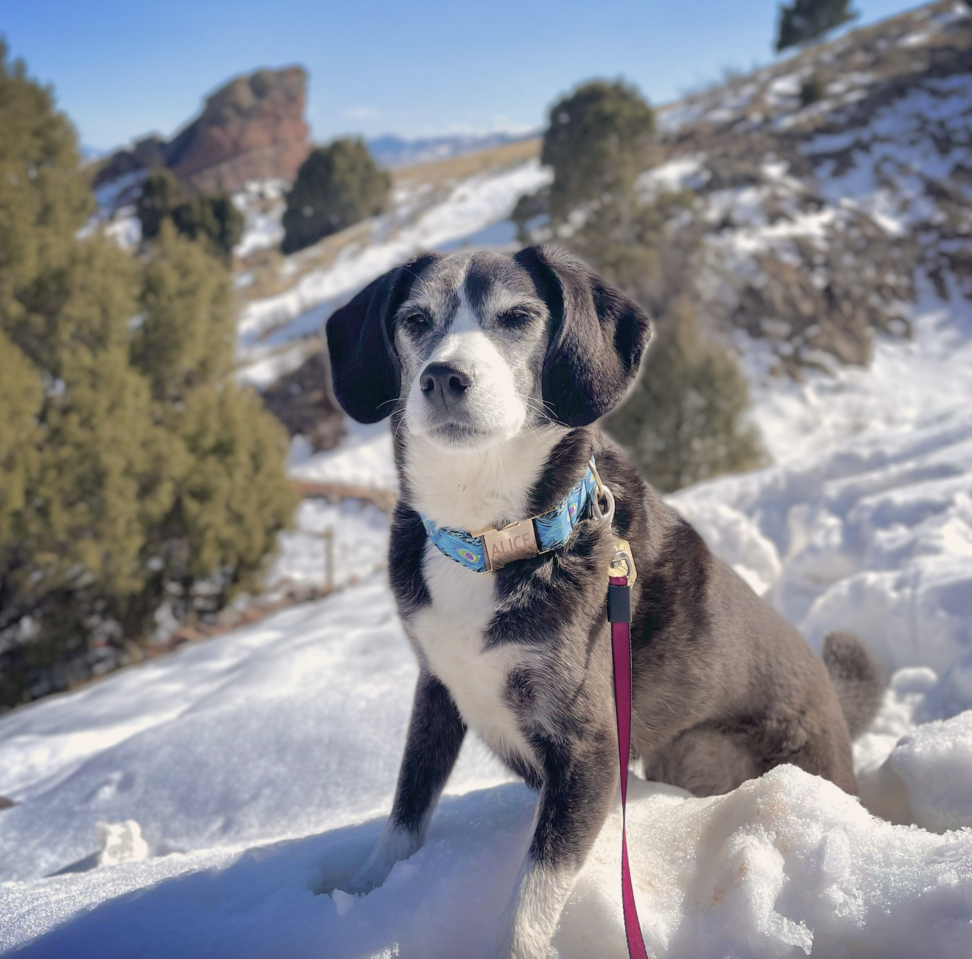
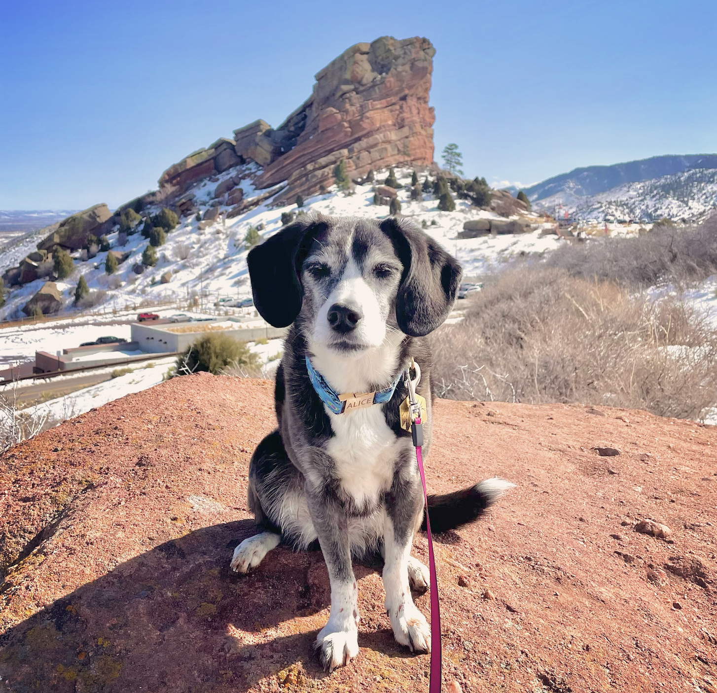
Yes, the famous Red Rocks Amphitheater is also a park with a few hiking trails! The trails are all pretty easy and short, but have nice views of Denver and the colorful rocks around the park. Don’t wear white - the red dust will have you leaving a different color than when you arrived - and know there isn’t any shade on these trails! You can park for free in the parking lots and use the amphitheater bathrooms (and wander through the amphitheater, see the view of downtown Denver), unless there’s a concert that day.
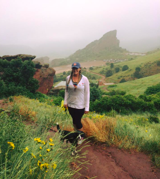
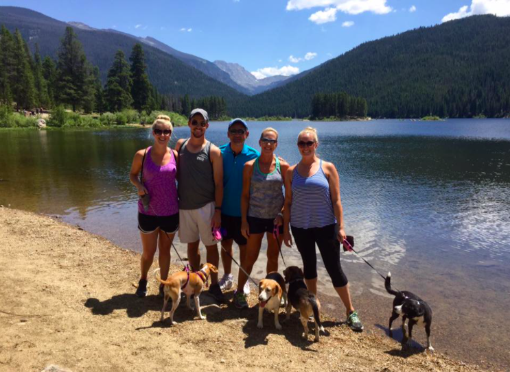
This trail is just east of Red Rocks, and has views of Red Rocks park throughout the hike! The hike is about five miles out-and-back, with several inclines and declines along the way. Our friends Casey (@caseylaynechampagne) and Chessy joined us! The trail was very busy on a Sunday afternoon, even though a couple sections were still quite snowy in late March. There is a large parking lot, but it was probably three-quarters full when I arrived in the early afternoon. Although there isn’t a bathroom at the trailhead, there are two gas stations on the other side of the highway. The trailhead is just off of I-70, so you could head further into the mountains very easily from here!
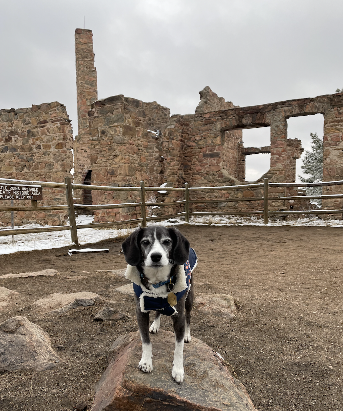
There are several trails in this park in Morrison, about a 30-minute drive from Denver. Be sure to make your way up the Castle Trail to see the remains of a burned-down castle, and Tower Trail to Eagle Eye Shelter and the fire tower for awesome views. Other trails lead you through forests, around a meadow, and to a point with a view of Red Rocks in the valley below. The pine tree forests looked gorgeous covered with fresh snow in mid-March! Bathrooms near the parking lot, lots of parking spots available.
This is an easy, two-mile trail with a great view at the top.
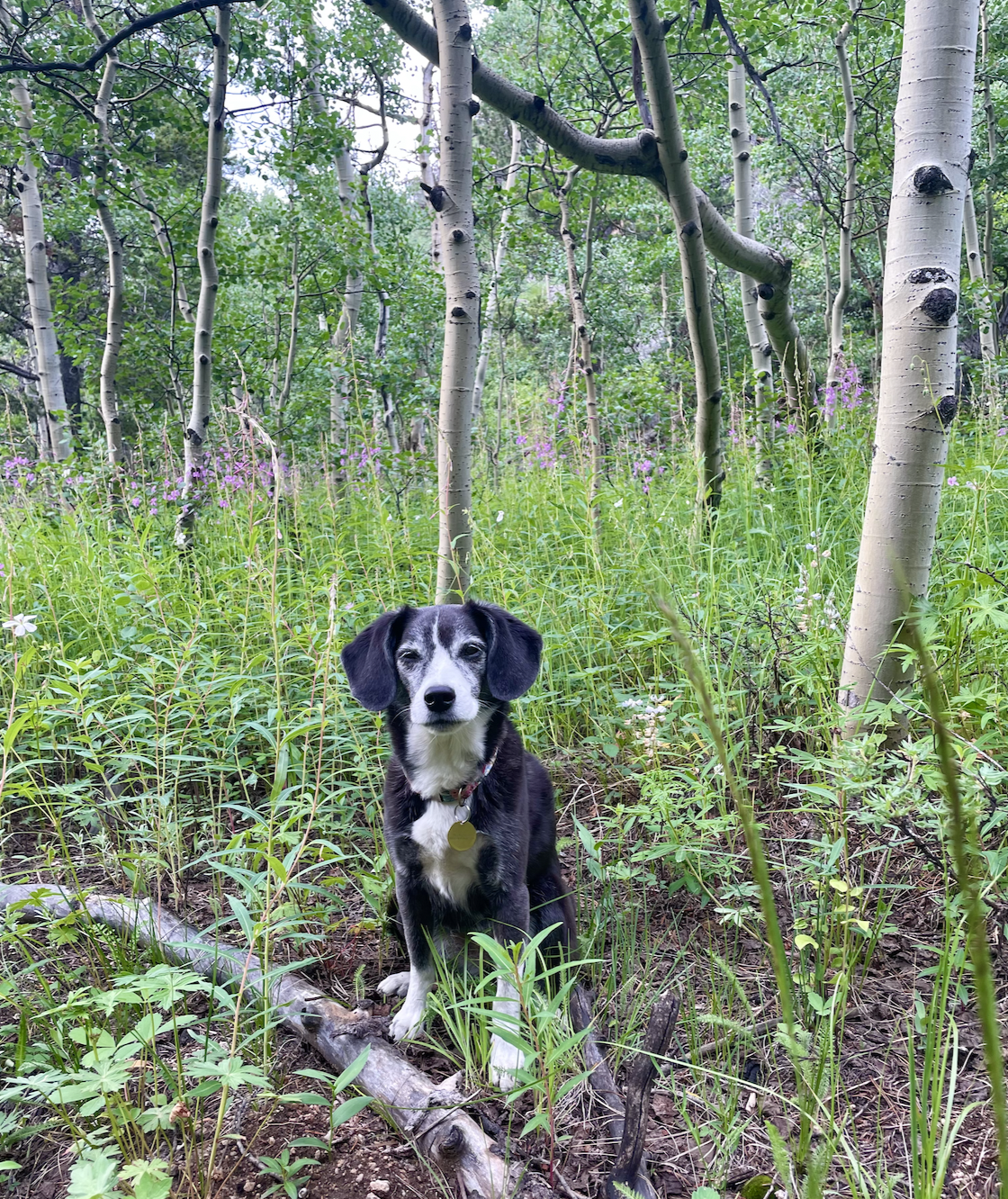
Alderfer Three Sisters Open Space
This park in Evergreen has a pretty intricate trail system that allows hikers to do anywhere from a quick, easy hike to a longer, more challenging one. Expect to encounter lots of other hikers and dogs, and to find creative parking along the road on summer weekends. There is a bathroom at the Three Sisters and Panorama trailhead, and the town of Evergreen is very closeby.
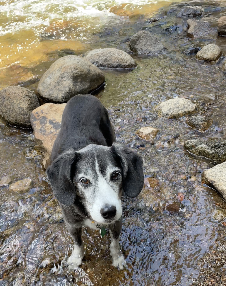
This park near Morrison includes several easy trails. Bear Creek runs through it, so there are opportunities for doggos to wade in the water (something Alice loves to do)! There are restrooms near the parking lot.
This park has a few different trails, all pretty easy, mostly unshaded. A few points with creek access and nice views of the meadows and some red rock formations. Some trails are shared with mountainbikes.
This is more of a walk than a hike, but the High Line Canal is an incredible, 71-mile trail that starts south-west of Denver near Chatfield Reservoir and stretches through Aurora in the east. Many portions of the trail have mountain views ideal for sunsets. The canal is often completely dry in the summer and fall, but in winter and spring you’ll be able to find places for puppers to play (or relax) in the water.
Hikes 1-2 Hours from Denver
Most of these hikes are further into the mountains, which means at higher altitude! So take breaks, bring plenty of water, and keep a close eye on your doggo.
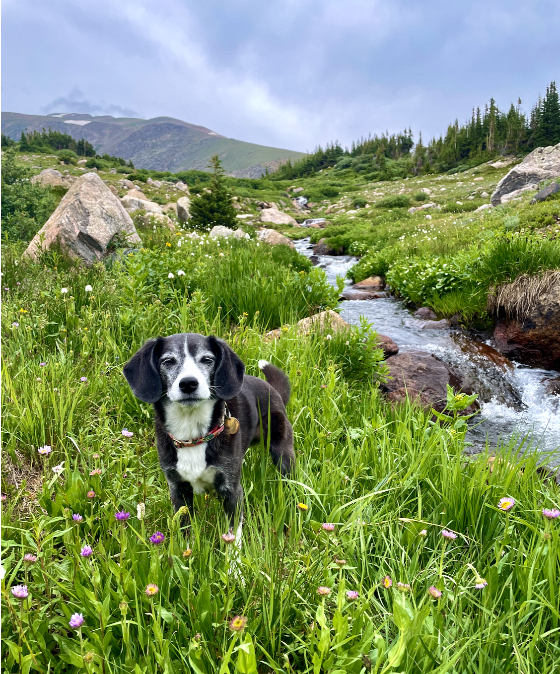
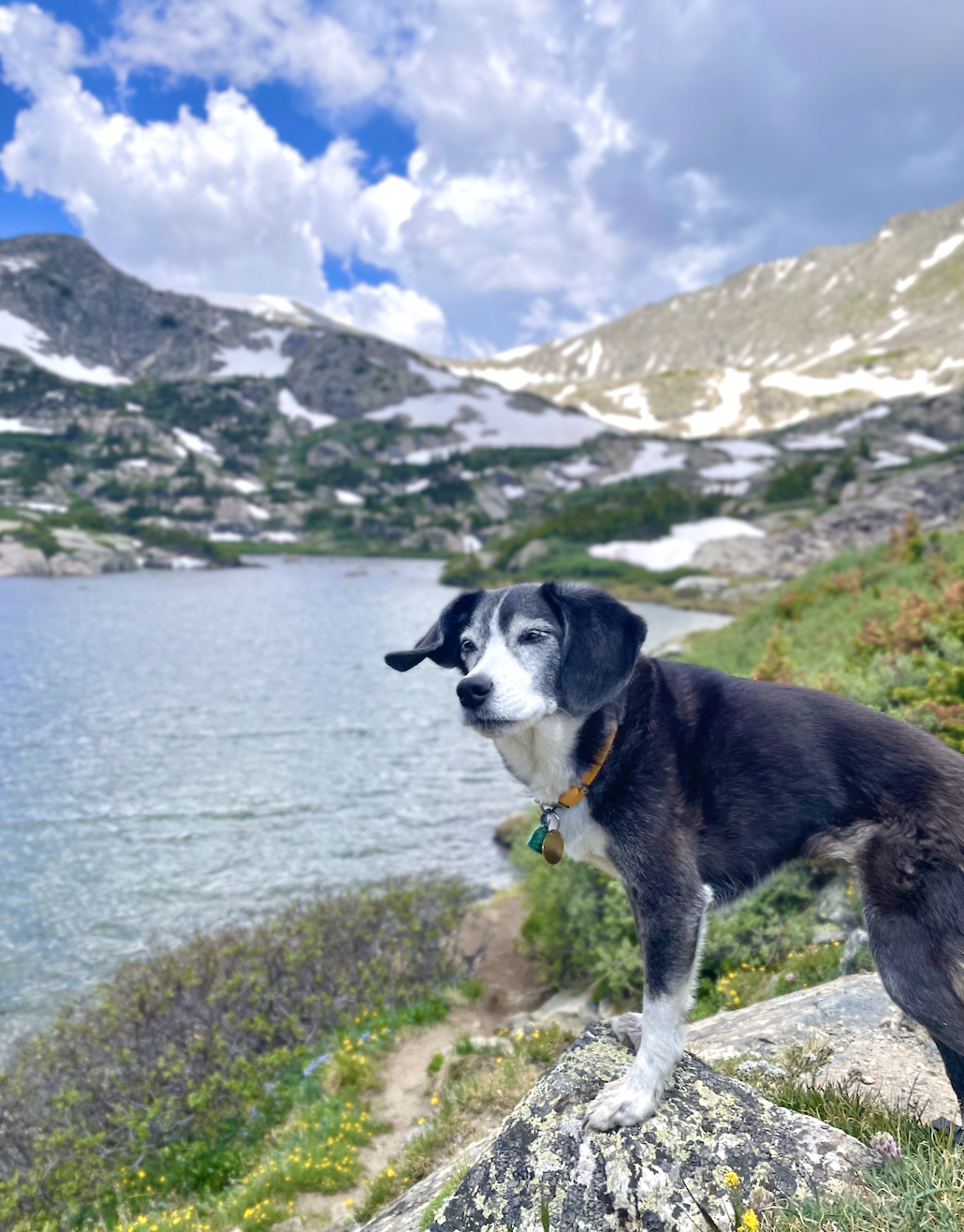
This is one of my favorite trails in Colorado - I go back to it often! The three mile out-and-back trail is quite easy with a few stream crossings. It starts with a gorgeous view of Lake Dillon and ends at a small pond covered with lily pads and a lake with peaks behind it. There is very little street parking, so arrive early in the day! Google “Stephanie’s Way” in Silverthorne to reach the trailhead - Google Maps will not take you to the correct place if you simply search for “Lily Pad Lake Trailhead”. No restrooms at the trailhead, but you can stop at a gas station in nearby Silverthorne.
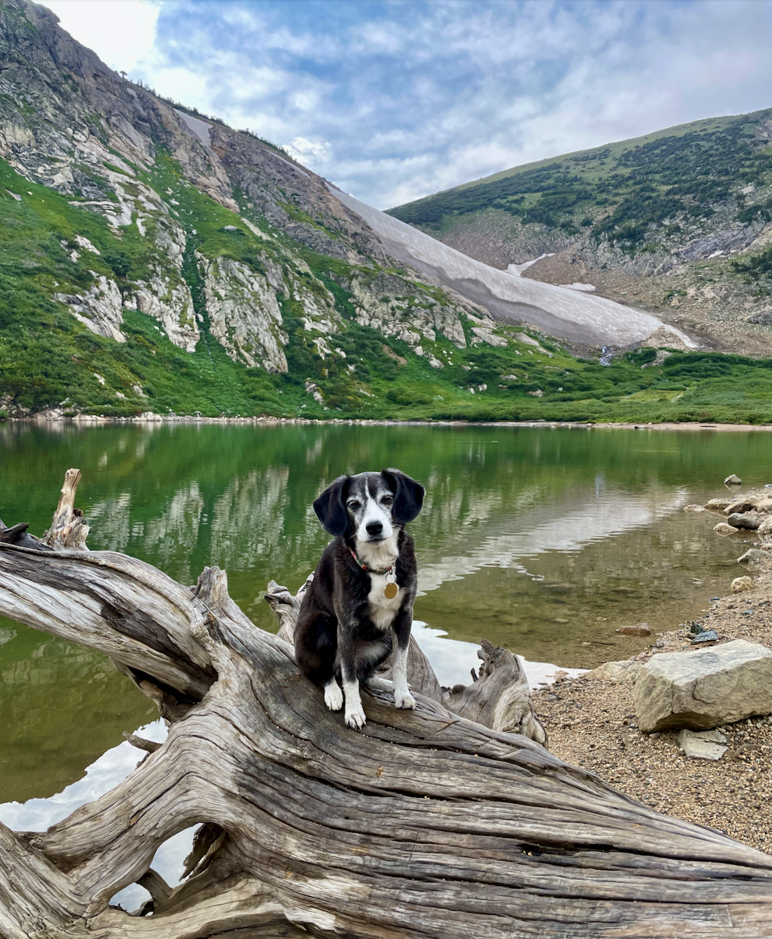
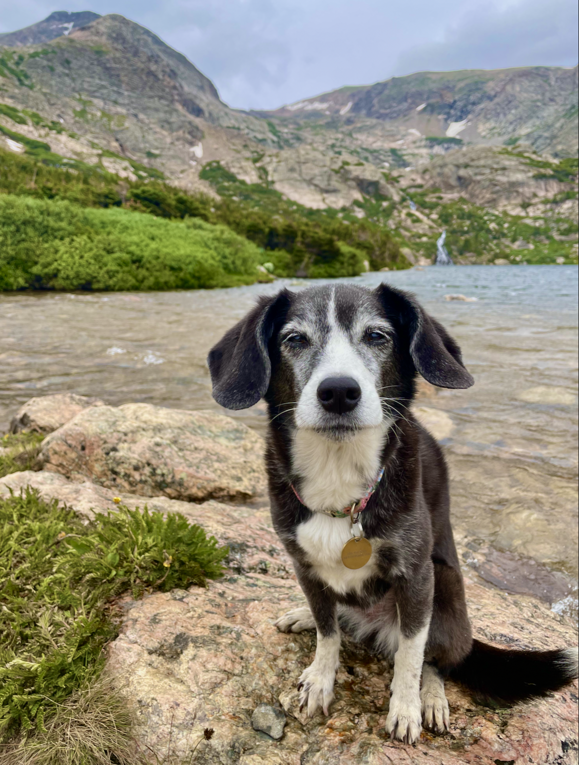
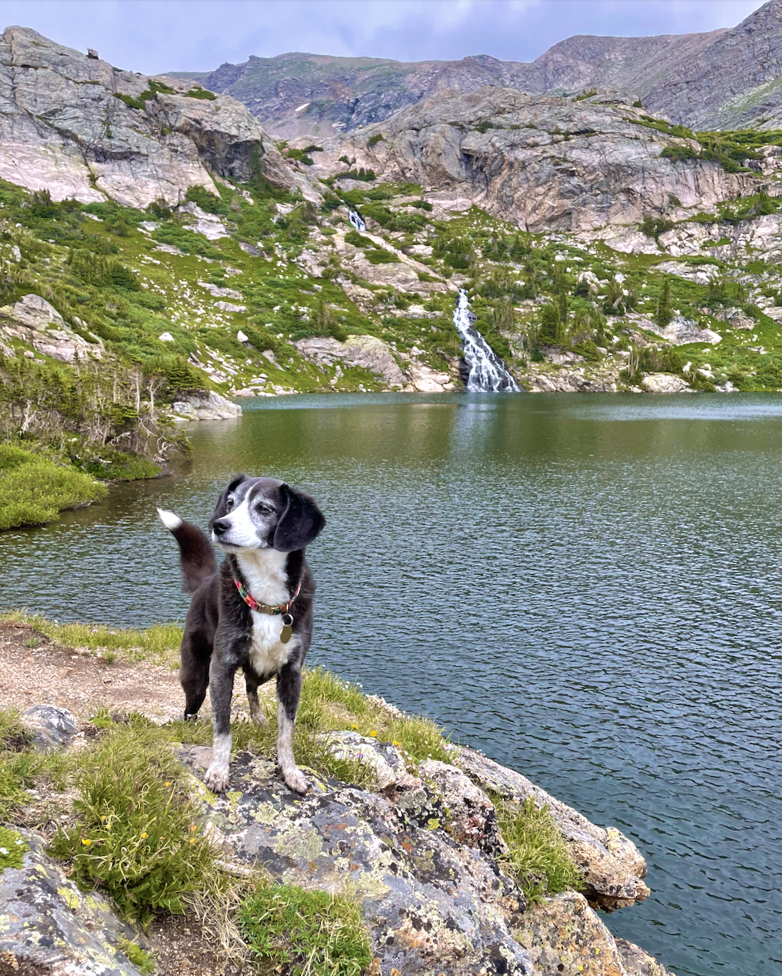
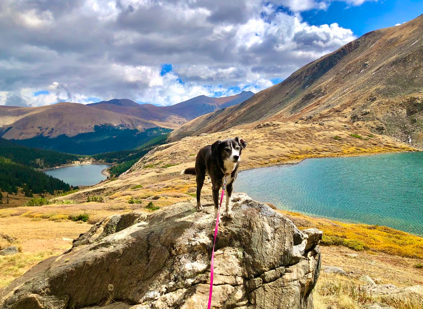
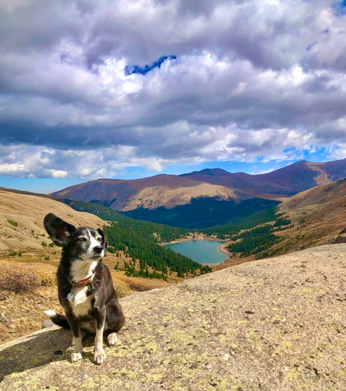
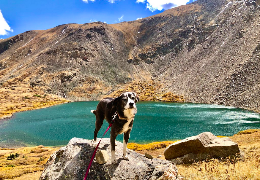
We did this four mile out-and-back hike for the first time in September 2020, and it was spectacular! Getting to the trailhead is a bit of an adventure… I had no cell service once I reached the top of Guanella Pass, and the very rocky road up to the trailhead requires a car with high clearance (though a large truck or SUV would also be challenging, as it would be nearly impossible to park, turn around, and make your way back down the road that is in some places not wide enough for two cars to pass each other). But the trail is beautiful, passing above one lake and leading you to two more. Even in mid-September there were still a few glaciers. The water of Silver Dollar Lake was a gorgeous turquoise. About half of the trail is above the tree line, meaning high altitude and no shade! Because of the high altitude (and the seasonal closing of Guanella Pass), this trail should be used in summer and early fall.

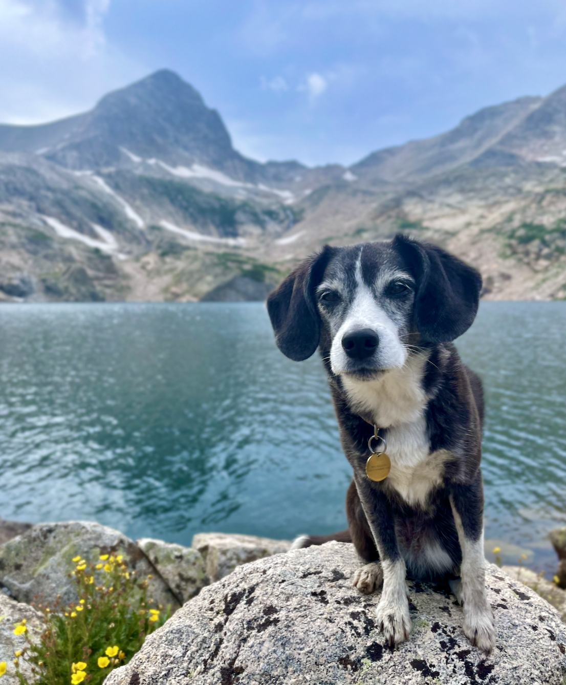
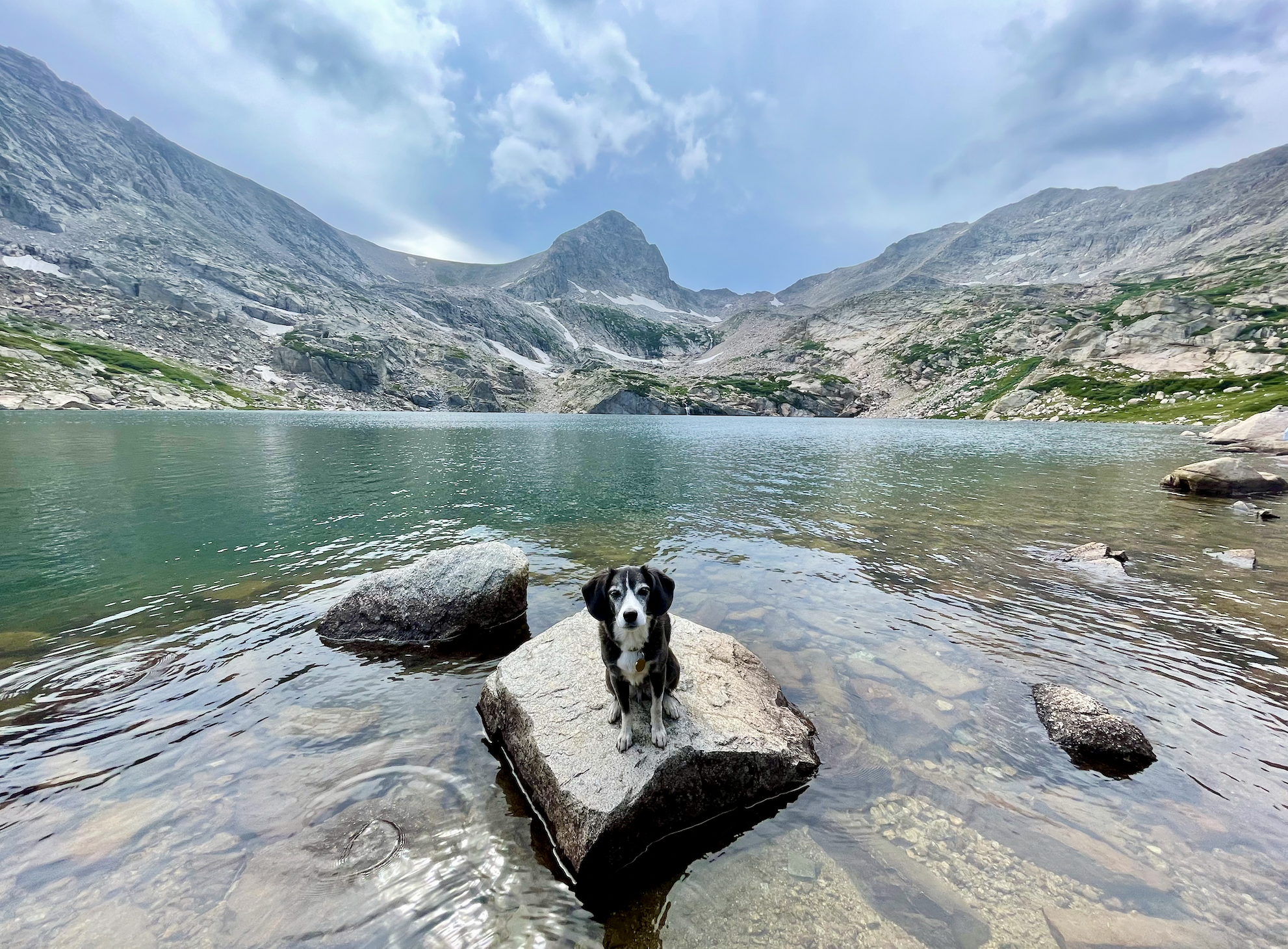
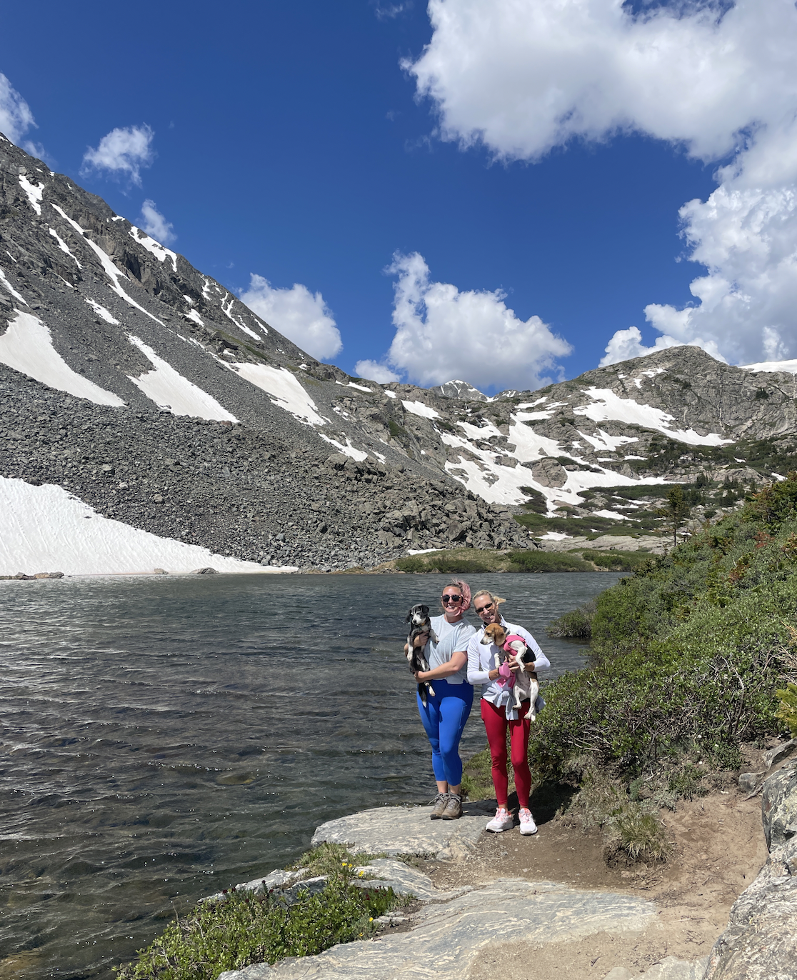
This is one of the most breathtaking places I have been. The water of this alpine lake is crystal blue. The mountain peak behind it is so unique. The evergreens on the four-mile hike up are so perfect they don’t even look real. You have to make a reservation for the Mitchell Lake parking area, and in the summer you’ll want to make one a couple weeks in advance because it is so popular. And bring bug repellent!
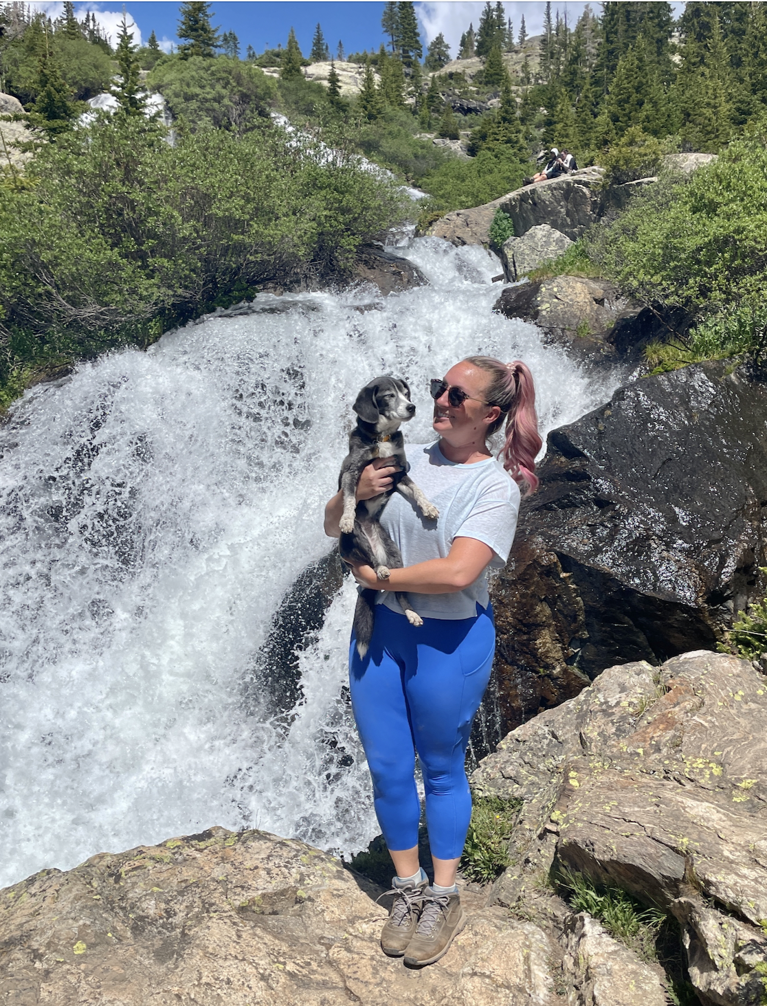
This is a moderate (though sometimes steep and rocky, with a stream crossing) four mile out-and-back hike near Vail. The waterfall, which is extraordinarily powerful in late spring and early summer due to snowmelt, is gorgeous. There are gorgeous mountain views and aspen forests on the way up, too. The parking lot at the trailhead is quite small, but there is overflow parking at the end of the street. After your hike, explore nearby Vail - check out my guide here!
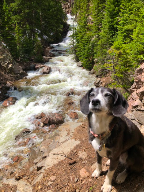
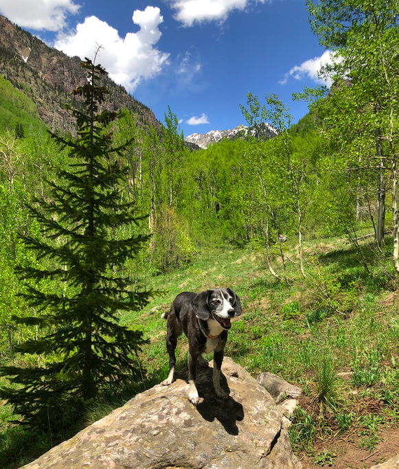
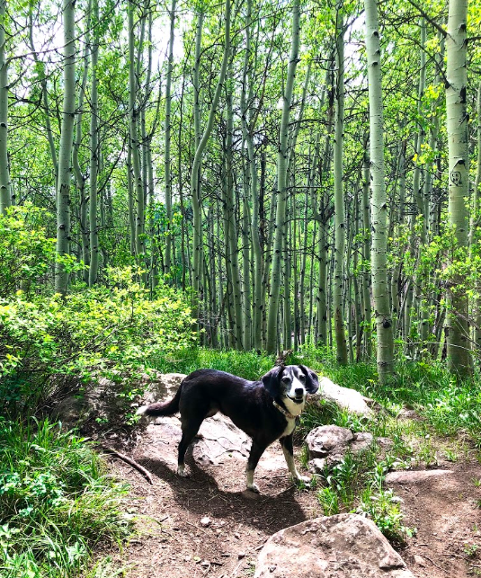
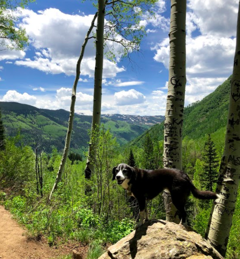
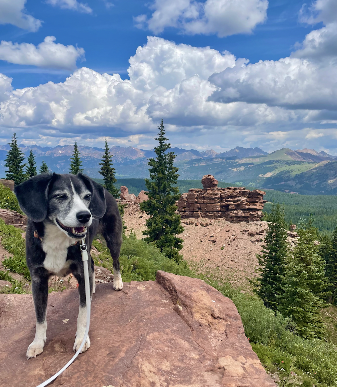
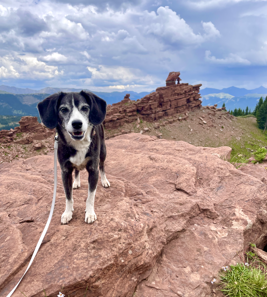
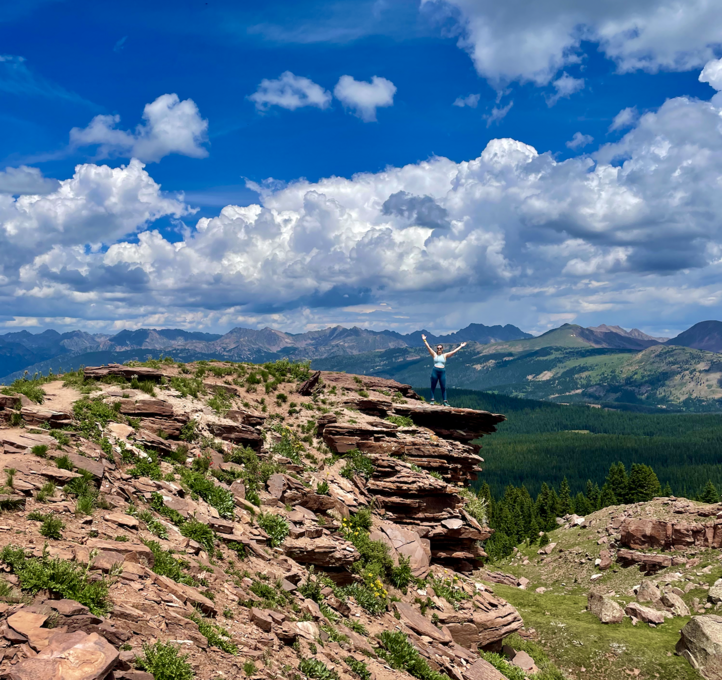
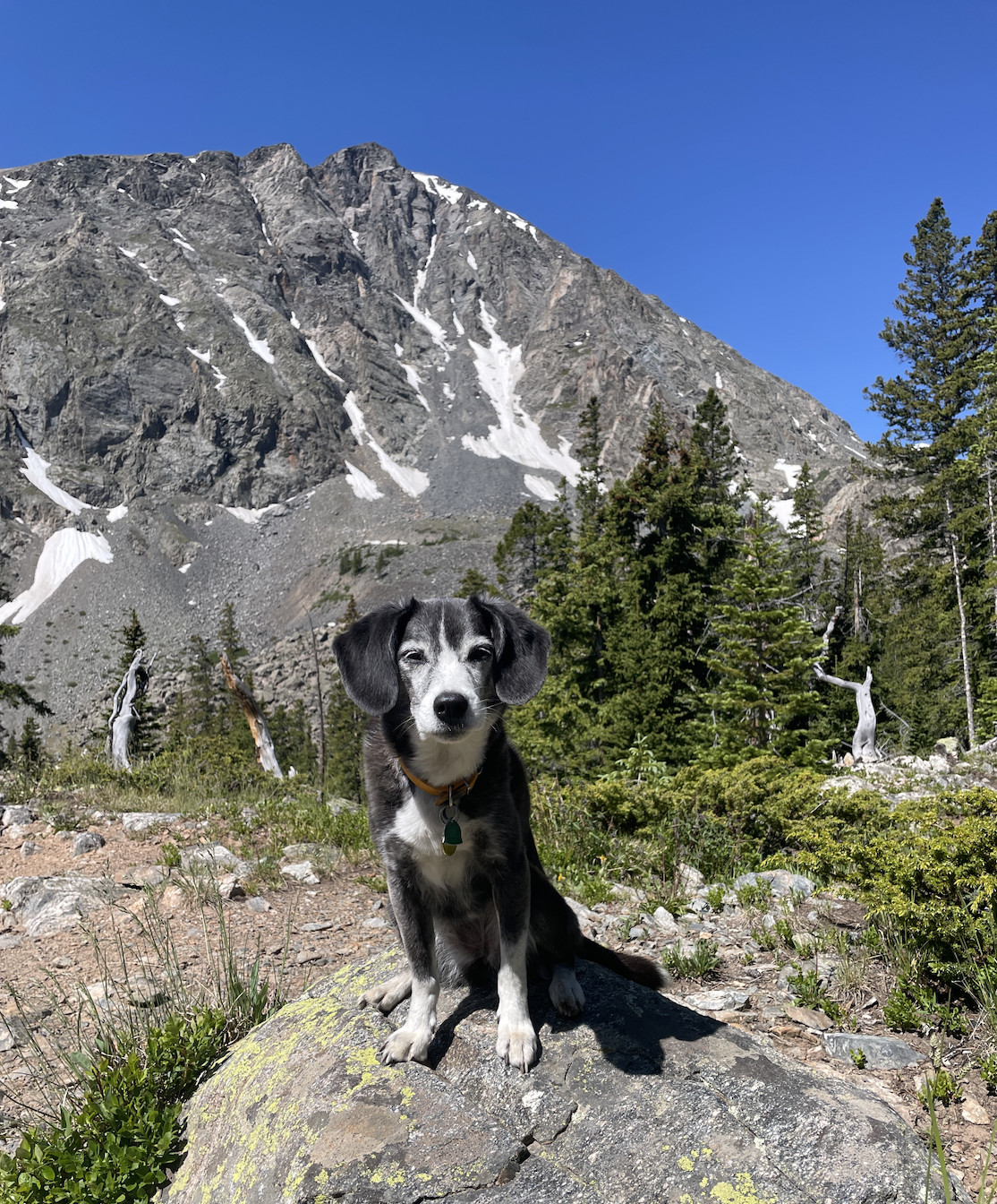
This moderate, four-mile hike between Copper and Vail has so many great things: wild flowers, evergreens, insane 360º mountain views, a unique rock formation! I was in Vail last summer with friends who were visiting Colorado for the first time, and this trail wowed all of us. It was pretty crowded on a weekday morning, but not too crowded to take away from the beauty surrounding us.
This hike just outside of Breckenridge is stunning, I can’t wait to go back! McCullough Gulch shares a parking lot with Quandry Peak, one of the most popular 14ers in Colorado. So if you want to park there, you need to reserve a permit ahead of time. You can also take a bus from Breck. To get to the McCullough Gulch trailhead in the summer, take the $10 shuttle which allows dogs. The trail itself has amazing mountain views, waterfalls, and a gorgeous alpine lake.
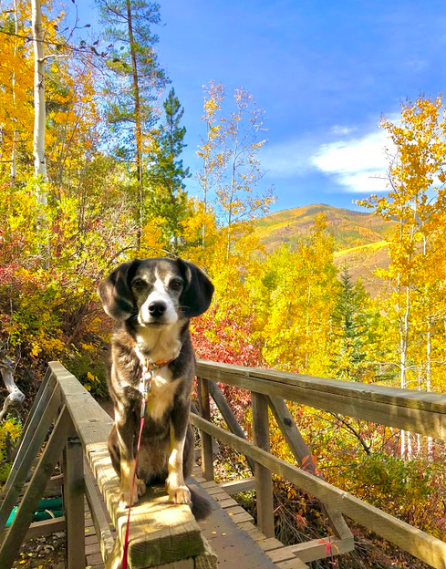
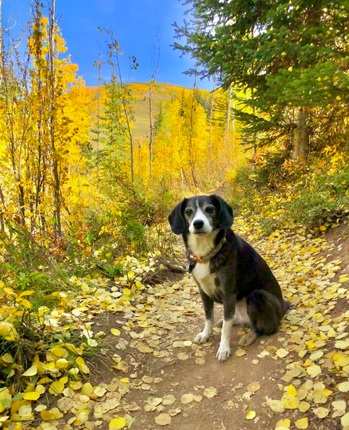
This trail winds up Vail mountain, passing underneath the gondolas and over the ski runs, through plenty of aspen forests. You’ll have beautiful views of Vail Village and the surrounding Vail Valley peaks. If you’re there in September, or maybe early October (depending on first snowfall), the golden aspens are to die for! This is a relatively easy hike, not too steep, but be aware of the altitude. This short out-and-back trail also connects with Cabin Trail and Berry Picker Trail, which can take you further up to the peak. The trailhead is about a ten-minute walk from the Vail Village parking garage (where you can park for free in the summer), directly underneath the gondolas. After your hike, explore Vail - check out my guide here!
This is a short, but sometimes steep trail just south of Breckenridge. One part of the loop is basically a dirt road, but the views are pretty spectacular throughout the entire hike, especially when you get to the top! Mid-afternoon in July, I only saw a few other groups of hikers.
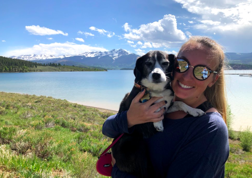
There are plenty of easy hiking trails just around Lake Dillon, as well as the paved walking path around much of the lake. Check out the Crown Point area, with a few different trails (some are shared with mountain biking). You can also rent a boat and ride around the lake in the summer!
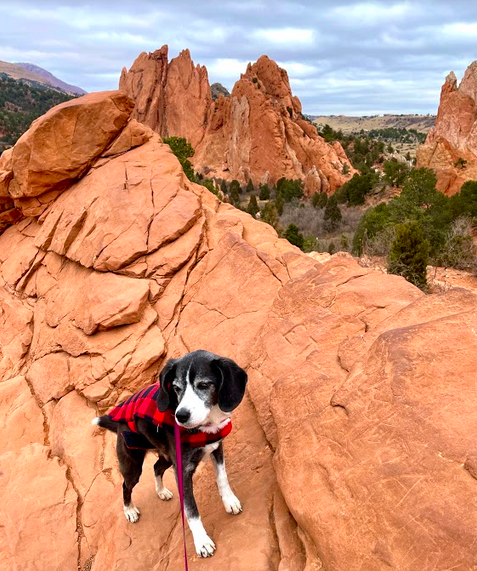
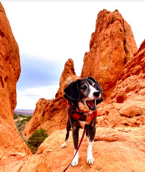
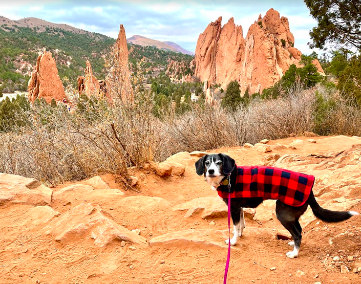
This park near Colorado Springs is known for the beautifully-colored rock formations of red and orange. You can walk on the pave paths between the large rock formations, or explore one of the many hiking trails.
Monarch Lake is actually a little over two hours from Denver… but you could make a whole day trip out of it, and enjoy time in Winter Park or Grand Lake. Rent a boat for the afternoon, have lunch, do some shopping, find another hike to go on! The Monarch Lake trail is a four-mile loop that goes around the small lake, which is picturesque with mountain peaks in the background.